


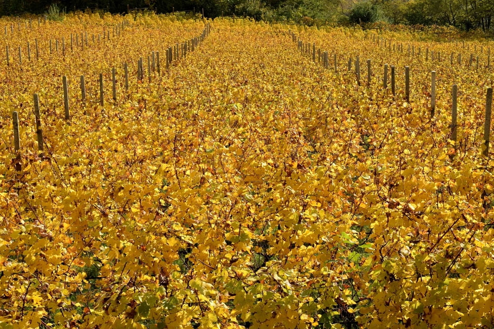
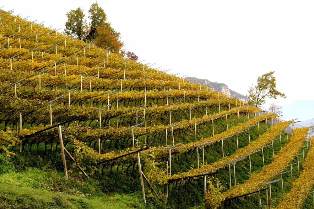
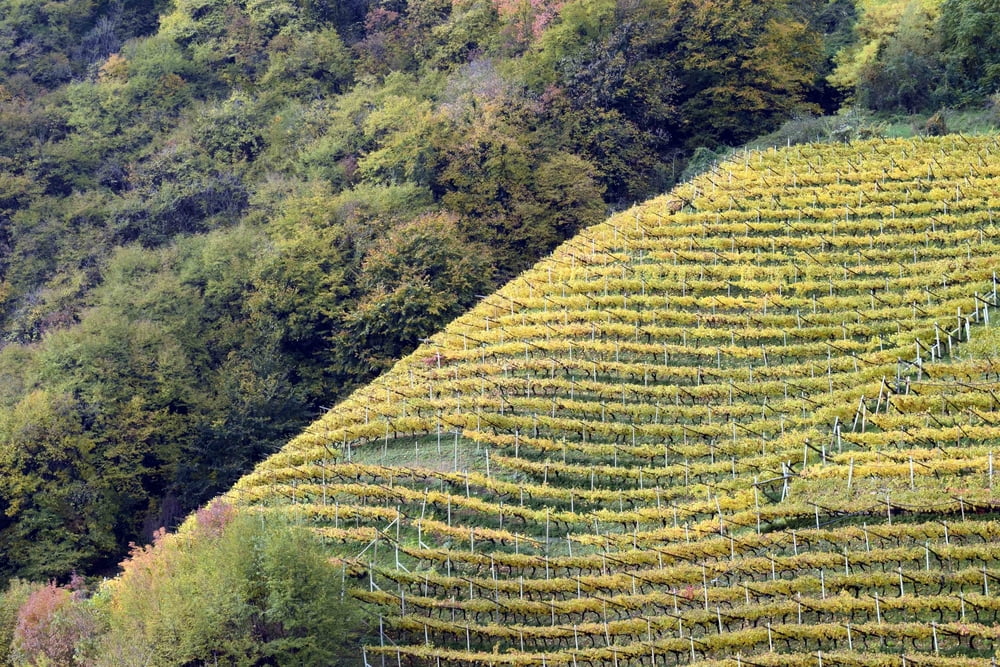
Gita ad anello nella bassa Atesina. A Magreid sulla Strada del Vino (220 m s.l.m.) parte il sentiero per Favogna. Attraversiamo il centro del paese (via Anrather e P.zza S. Geltrude) e seguiamo la via Franz-von-Fenner in direzione nord seguendo il segnavia 3. La strada inizia ripida tra i vigneti fino al segnavia 3a in direzione Entiklar. Dopo circa 100 metri verso Entiklar, il sentiero 3B per Penon si dirama a sinistra. Una volta raggiunte le prime case di Hinterpenon (605 m), una strada asfaltata si dirige a nord fino a un bivio (a destra, un santuario a bordo strada). Rimanere sulla destra, anche al bivio successivo, per scendere a Entiklar (256 m) - segnavia 7. Giunti alle prime case di Entiklar, il sentiero 3A prende a sinistra verso Margreid (226 m).
Tour gallery
Tour map and elevation profile
Minimum height 253 m
Maximum height 670 m
More about the tour author
|
|
bonani |
Comments

Magreid si raggiunge uscendo dall’autostrada A22 al casello di San Michele all’Adige. Di qui si prosegue sulla statale in direzione di Salorno. Al semaforo in centro paese si gira a sinistra, attraversiamo il fiume Adige e poi subito a destra per Cortina sulla strada del vino. Poco dopo arriviamo a Magreid. (17 km 20 minuti di auto)
GPS tracks
Trackpoints-
GPX / Garmin Map Source (gpx) download
-
TCX / Garmin Training Center® (tcx) download
-
CRS / Garmin Training Center® (crs) download
-
Google Earth (kml) download
-
G7ToWin (g7t) download
-
TTQV (trk) download
-
Overlay (ovl) download
-
Fugawi (txt) download
-
Kompass (DAV) Track (tk) download
-
Track data sheet (pdf) download
-
Original file of the author (gpx) download
More about the tour author
|
|
bonani |
Add to my favorites
Remove from my favorites
Edit tags
Open track
My score
Rate