


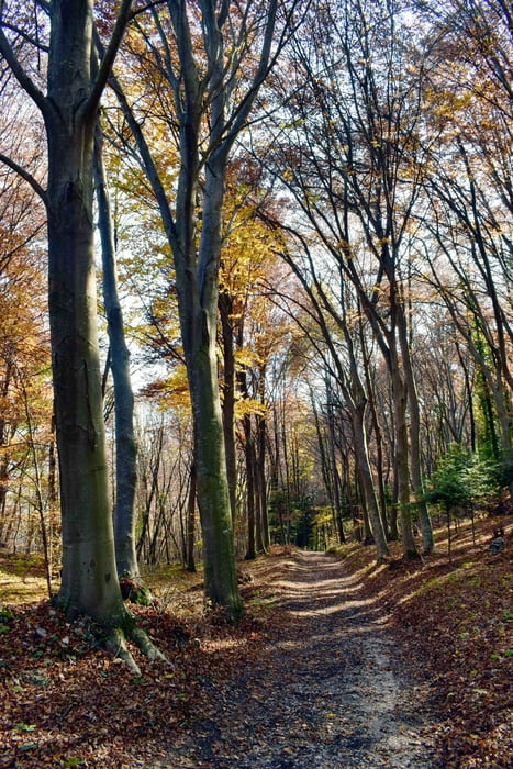
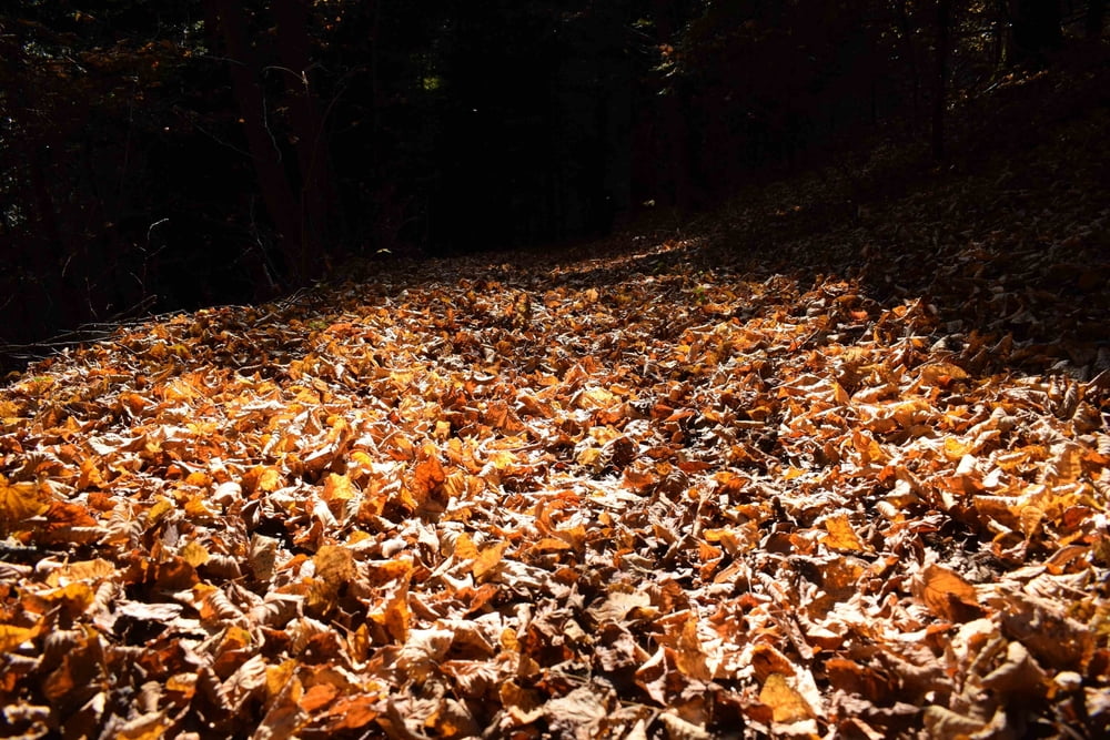
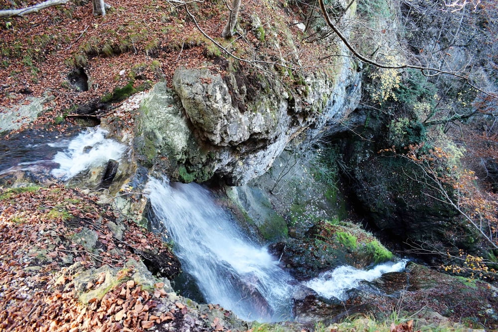
Partenza in località Piani sulla strada che porta a Fai della Paganella. Al primo tornante si percorre per poche centinaia di metri la strada che porta in località Piani (pizzeria). Ora si cammina sul sentiero numero 602 C che interseca la strada asfaltata in più punti per poi arrivare al Bait dei Canai e successivamente al belvedere Giuel da cui si può ammirare una splendida vista sulla piana Rotaliana con i suoi famosi vigneti. Dalla pedana panoramica si prende la strada forestale che porta alla valle del Ri (sentiero n. 602 B). Si tratta di una valle angusta con un corso d’acqua e qualche cascatella. La discesa è piuttosto ripida e porta al cimitero di Mezzolombardo.
Tour gallery
Tour map and elevation profile
Minimum height 312 m
Maximum height 762 m
More about the tour author
|
|
bonani |
Comments

Uscire dall’autostrada A22 al casello di San Michele e dirigersi verso Fai della Paganella. Superato l’abitato di Mezzolombardo si prende a sinistra per Fai. Al primo tornante deviare verso la località Piani
GPS tracks
Trackpoints-
GPX / Garmin Map Source (gpx) download
-
TCX / Garmin Training Center® (tcx) download
-
CRS / Garmin Training Center® (crs) download
-
Google Earth (kml) download
-
G7ToWin (g7t) download
-
TTQV (trk) download
-
Overlay (ovl) download
-
Fugawi (txt) download
-
Kompass (DAV) Track (tk) download
-
Track data sheet (pdf) download
-
Original file of the author (gpx) download
More about the tour author
|
|
bonani |
Add to my favorites
Remove from my favorites
Edit tags
Open track
My score
Rate