Login

Forgotten password?

Cookies have to be accepted!
Your browser's cookie functionality is disabled. Please enable this functionality.

Not a member yet?

Register now
Login

Available for registred users only

Log in to use this feature.

Forgotten password?

Cookies have to be accepted!
Your browser's cookie functionality is disabled. Please enable this functionality.

Not a member yet?

Register now
Filter
Categories
Advanced filters
  • Distance (km)
  • Height
Save filters Reset filter

TrackRank

QRCode

Technical data

Distance5,7 km Height74 m Way down63 m Duration00:00 h:m Date05.02.2021
Scores Author Landscape Fun factor Fitness Technique

Statistics

137 Views Scores 3 Downloads Average
Rate
  • Track data sheet
  • Directions
  • Downloads
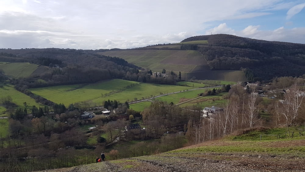
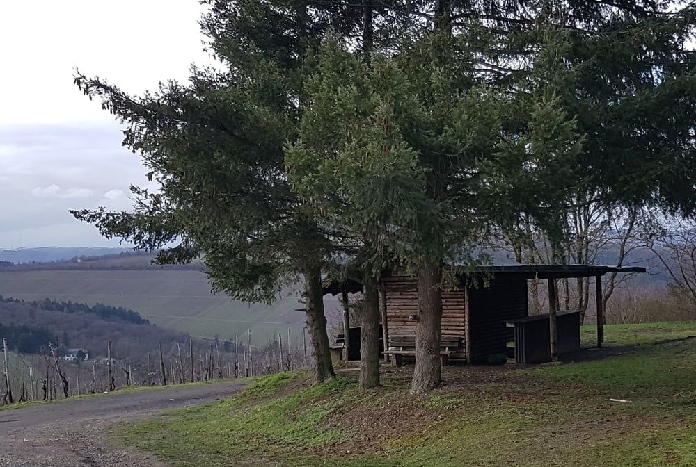
Diese Weinbergswanderung ist nichts für heisse Sommertage, da sie vorwiegend in Serpentinen mit schönen Weitblicken ins Ruwertal im Weinberg verläuft.

Tour gallery

Tour map and elevation profile

  • Open Street Map
  • Google
Minimum height 230 m Maximum height 304 m Detailed view

More about the tour author

Fuchs54295
Member since 2020

Send private message

Comments

Mit Bus Linie 207 von Trier nach Kasel Sportplatz oder mit dem Auto nach Kasel, Am Sportplatz 9,  K140 ( N49 45.875 E6 44.501)

GPS tracks

Trackpoints
  • GPX / Garmin Map Source (gpx) download
  • TCX / Garmin Training Center® (tcx) download
  • CRS / Garmin Training Center® (crs) download
  • Google Earth (kml) download
  • G7ToWin (g7t) download
  • TTQV (trk) download
  • Overlay (ovl) download
  • Fugawi (txt) download
  • Kompass (DAV) Track (tk) download
  • Track data sheet (pdf) download
  • Original file of the author (gpx) download

More about the tour author

Fuchs54295
Member since 2020

Send private message
Share track
Add to my favorites
Remove from my favorites
Edit tags
My score
Rate
Track: RW Kasel Sportplatz Mertesdorf Weinberg
Type: Hiking
Distance: 5,7 km
Evaluated on:
Duration:
Day(s)
Hour(s)
Minute(s)
Score: Landscape Fun factor Fitness Technique