


Wir parken am Sportplatz von Glonn und wandern Richtung Steinsee und dann durchs Spiegelbachtal nach Mosach. Da kommt man an der Forellenzucht vorbei. Weiter gehts durch Mosach auf den alten Bahndamm nach Glonn.
Vorteil der Wanderung ist, dass es immer Forstwege sind und damit auch im frühen Frühjahr und bei schlechtem Wetter noch gut zu gehen.
Wir sind dann noch nach Schlacht ins Kaffeekandl gefahren und haben uns Kuchen geholt.
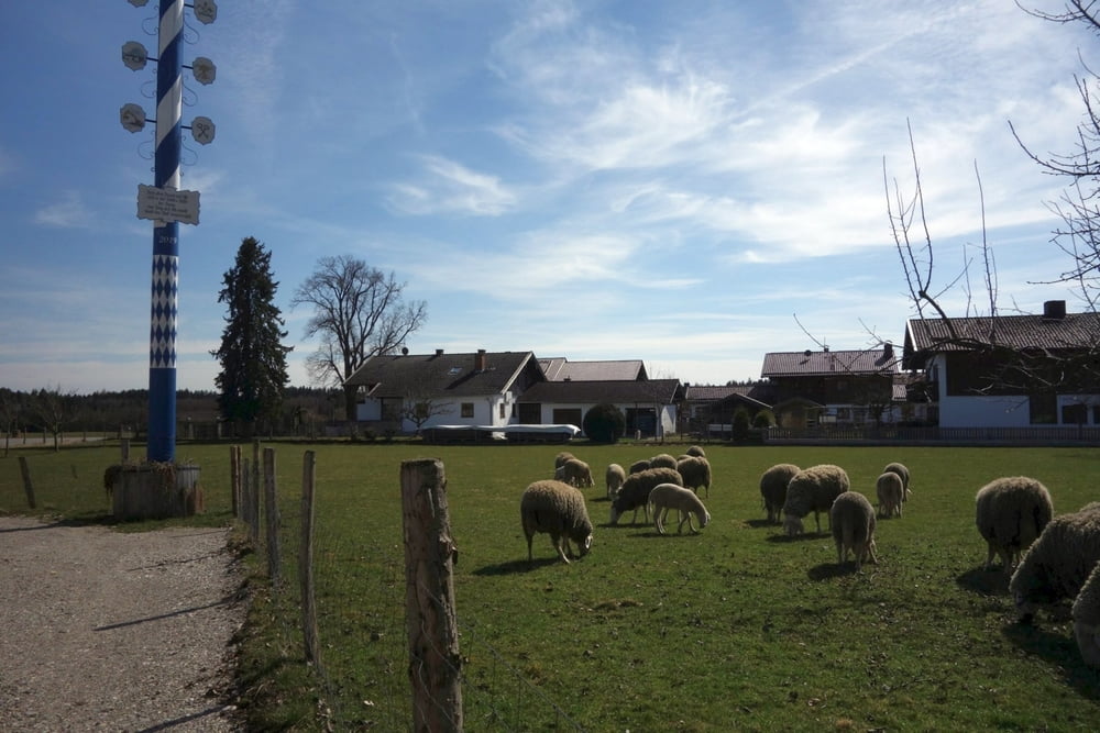
Sonne schien und damit bestes Wetter für den Kuchen vorm Bussle. Die Schafe haben uns begrüßt. Ob die Lämmer wohl Ostern überstehen?
Further information at
https://www.kaffeekandl.de/Tour gallery

Tour map and elevation profile
Minimum height 516 m
Maximum height 613 m
More about the tour author

|
smartandem |
Comments

Von München kommend über die B471 nach Putzbrunn. Dort am Kreisel nach Oberpframmern und weiter nach Glonn. Auf der Straße kommt man durch Schlacht hindurch, wo das Kaffekandl ist.
Am Sportplatz kann man kostenfrei parken. Meist ist hier wenig los.
GPS tracks
Trackpoints-
GPX / Garmin Map Source (gpx) download
-
TCX / Garmin Training Center® (tcx) download
-
CRS / Garmin Training Center® (crs) download
-
Google Earth (kml) download
-
G7ToWin (g7t) download
-
TTQV (trk) download
-
Overlay (ovl) download
-
Fugawi (txt) download
-
Kompass (DAV) Track (tk) download
-
Track data sheet (pdf) download
-
Original file of the author (gpx) download
More about the tour author
|
|
smartandem |
Add to my favorites
Remove from my favorites
Edit tags
Open track
My score
Rate