


Diese Tour habe ich vor Jahren vom Portal gpsies heruntergeladen. Sie ist heute - im Nachfolgeportal - nicht mehr zu finden. Da ich sie aber wirklich toll finde, stelle ich sie hier ein.
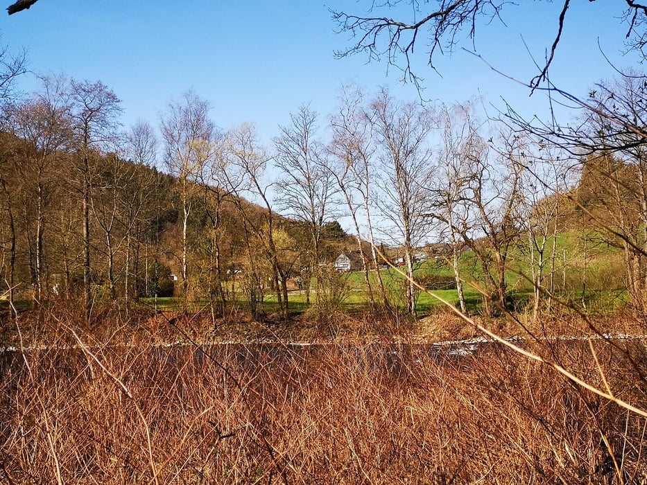
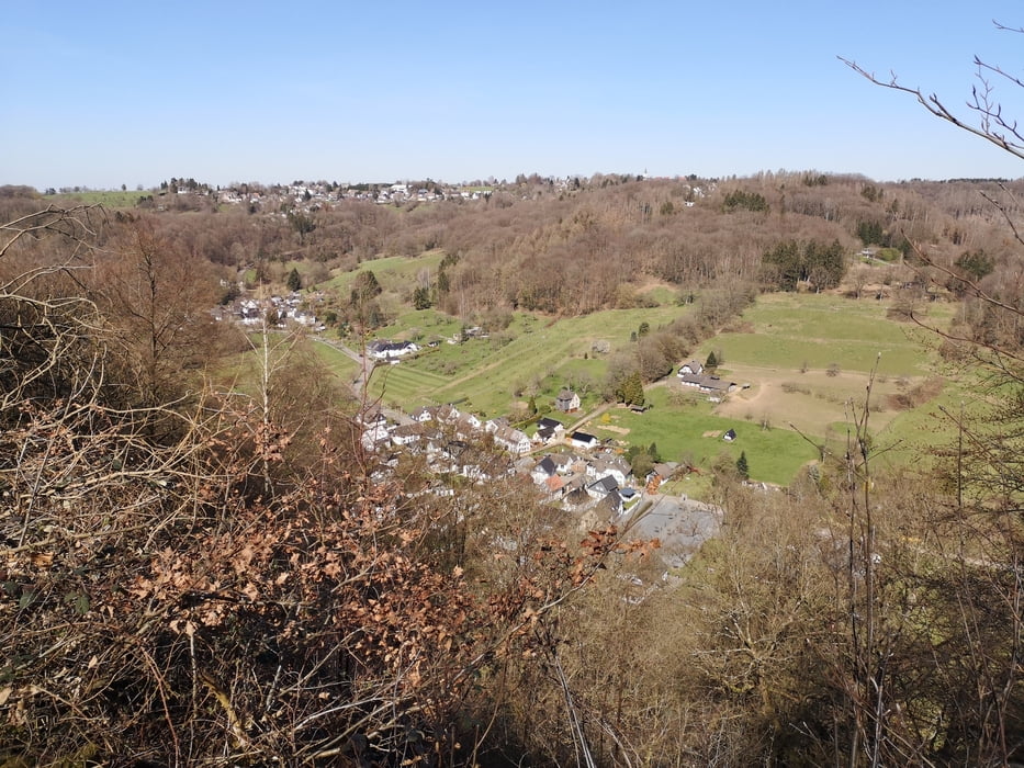
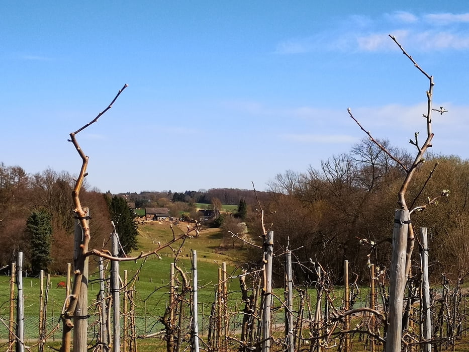
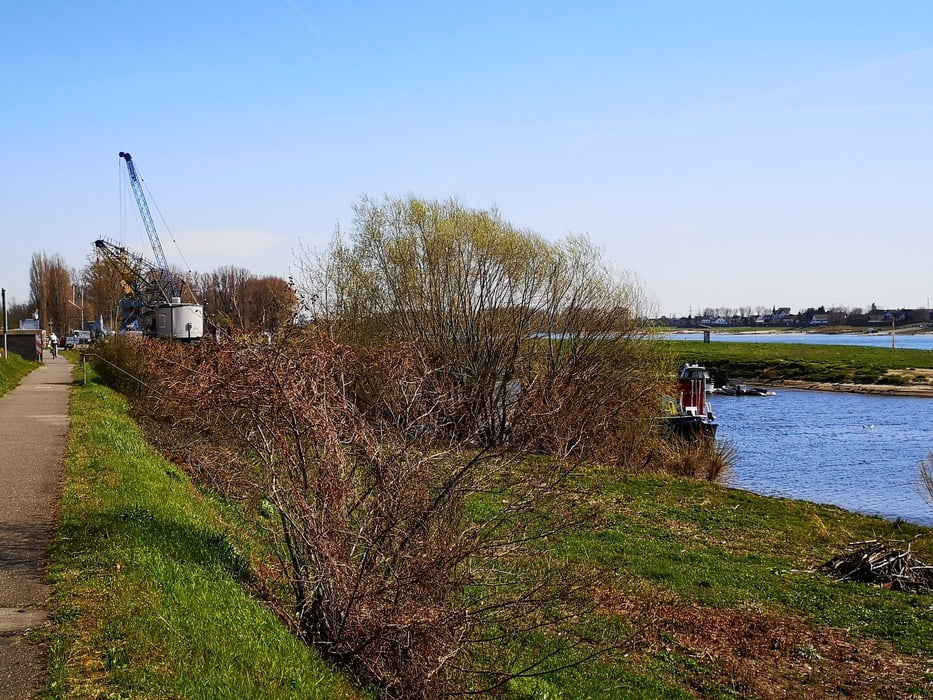
Landschaftlich - zwischen Bergischem Land und Rhein - ist die Tour sehr schön und abwechslungsreich. Gastronomie war am Wegesrand immer mal wieder zu sehen. Wir konnten es leider - wegen Corona - nicht testen.
Ich bin die Tour im Uhrzeigersinn gefahren. Die Wege sind überwiegend unbefestigte Wald- und Feldwege, Asphalt kommt eher selten vor. Zwischendurch sind etwa 7 km recht anstrengend. Aber, es lohnt sich!
Tour gallery
Tour map and elevation profile
Minimum height 41 m
Maximum height 206 m
More about the tour author

|
kloepperey |
Comments

Start und Ziel ist der S-Bahnhof Düsseldorf-Hellerhof.
Es gibt auch einen großzügigen P+R
GPS tracks
Trackpoints-
GPX / Garmin Map Source (gpx) download
-
TCX / Garmin Training Center® (tcx) download
-
CRS / Garmin Training Center® (crs) download
-
Google Earth (kml) download
-
G7ToWin (g7t) download
-
TTQV (trk) download
-
Overlay (ovl) download
-
Fugawi (txt) download
-
Kompass (DAV) Track (tk) download
-
Track data sheet (pdf) download
-
Original file of the author (gpx) download
More about the tour author
|
|
kloepperey |
Add to my favorites
Remove from my favorites
Edit tags
Open track
My score
Rate