


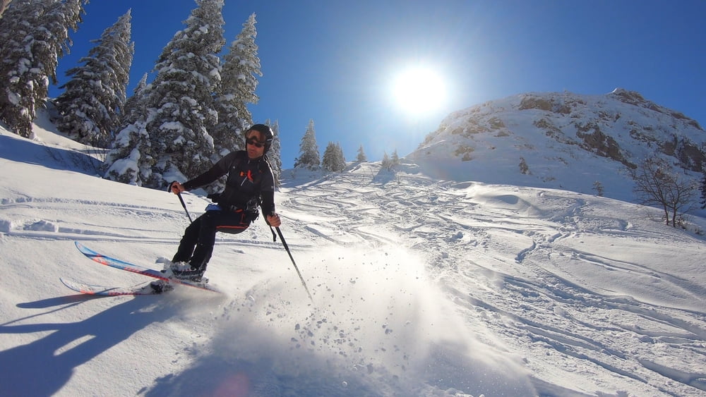
Eigentlich war an diesem Tag eine längere Runde inkl. des Setzberges geplant. Da sich meine Frau bei der Abfahrt vom Blankensteinsattel verletzte, kürzten wir die Runde ab und fuhren vom Röthensteinsee zum Ausgangspunkt (Parkplatz Hufnagelstube / Mautstraße gebührenpflichtig) zurück. Aber auch so ist es eine wunderschöne Runde, für diejenigen, die eine relativ einfache Skitour suchen und mit 800 Höhenmetern zufrieden sind.
Wer will, kann den Grubereck und Setzberg in die Runde einbauen und so über 1300 Höhenmeter sammeln...
Wer will, kann den Grubereck und Setzberg in die Runde einbauen und so über 1300 Höhenmeter sammeln...
Tour gallery
Tour map and elevation profile
Minimum height 959 m
Maximum height 1692 m
More about the tour author
|
|
mountain_mane |
Comments

GPS tracks
Trackpoints-
GPX / Garmin Map Source (gpx) download
-
TCX / Garmin Training Center® (tcx) download
-
CRS / Garmin Training Center® (crs) download
-
Google Earth (kml) download
-
G7ToWin (g7t) download
-
TTQV (trk) download
-
Overlay (ovl) download
-
Fugawi (txt) download
-
Kompass (DAV) Track (tk) download
-
Track data sheet (pdf) download
-
Original file of the author (gpx) download
More about the tour author
|
|
mountain_mane |
Add to my favorites
Remove from my favorites
Edit tags
Open track
My score
Rate