


Einmal rund um den Hainwald in Hämelerwald.
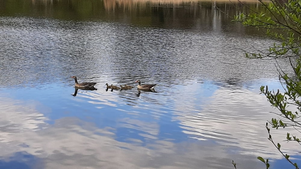
Ausgehend vom Parkplatz in der Nähe des Waldsees, geht man in Richtung Campingplatz. Auf der linken Seite kann man am Ufer des Waldsees entlang gehen.
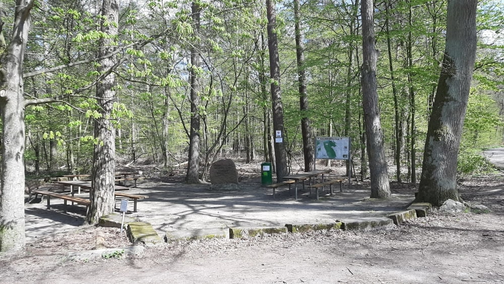
Wir haben wir danach einen kleinen Abstecher auf den Campingplatz gemacht. Der Straße folgend kommt man zum Picknickplatz, dort befindet sich auch eine Wanderkarte.
Der restliche Weg entspticht in etwa der dort angebotenen Walkingstrecke.
Tour gallery
Tour map and elevation profile
Minimum height 103 m
Maximum height 146 m
More about the tour author

|
olliwandert |
Comments

Parkplatz in der Nähe des Waldsees
GPS tracks
Trackpoints-
GPX / Garmin Map Source (gpx) download
-
TCX / Garmin Training Center® (tcx) download
-
CRS / Garmin Training Center® (crs) download
-
Google Earth (kml) download
-
G7ToWin (g7t) download
-
TTQV (trk) download
-
Overlay (ovl) download
-
Fugawi (txt) download
-
Kompass (DAV) Track (tk) download
-
Track data sheet (pdf) download
-
Original file of the author (gpx) download
More about the tour author
|
|
olliwandert |
Add to my favorites
Remove from my favorites
Edit tags
Open track
My score
Rate