


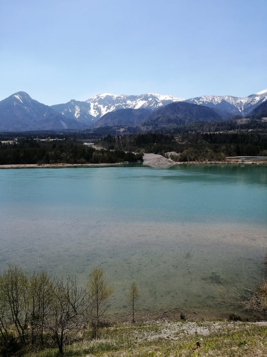
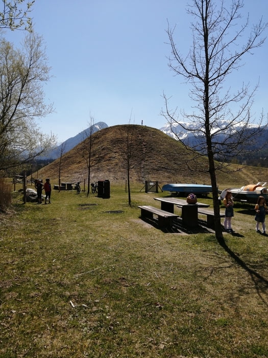
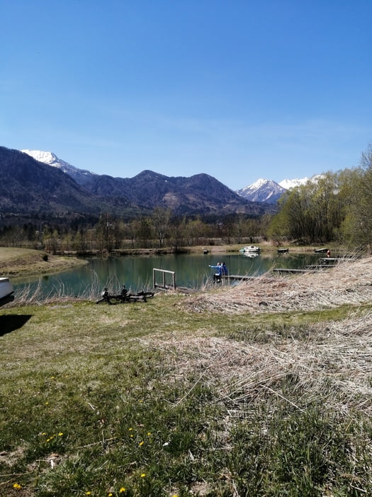
Startpunkt Klgft Rotes Kreuz - nach Viktring, Köttmannsdorf, Abzwg nach Feistritz und nach den Kehren in Wellersdorf gleich wieder weg bis Ludmannsdorf, auf der Bundesstrasse bis Franzendorf. Links weg Richtung Zelkach. Dort befindet sich ein Naturschutzgebiet an der Drau mit Schautafeln und einer Zikkurat und Badeteich mit Verbindung zur Drau. Nach einer Pause weiter über Zelkach, St. Egyden nach Schiefling, Techelweg und auf dem 4-Seenweg R4A über Keutschach zurück nach Klagenfurt.
Tour gallery
Tour map and elevation profile
Minimum height 390 m
Maximum height 602 m
More about the tour author
|
|
walderich |
Comments

GPS tracks
Trackpoints-
GPX / Garmin Map Source (gpx) download
-
TCX / Garmin Training Center® (tcx) download
-
CRS / Garmin Training Center® (crs) download
-
Google Earth (kml) download
-
G7ToWin (g7t) download
-
TTQV (trk) download
-
Overlay (ovl) download
-
Fugawi (txt) download
-
Kompass (DAV) Track (tk) download
-
Track data sheet (pdf) download
-
Original file of the author (gpx) download
More about the tour author
|
|
walderich |
Add to my favorites
Remove from my favorites
Edit tags
Open track
My score
Rate