


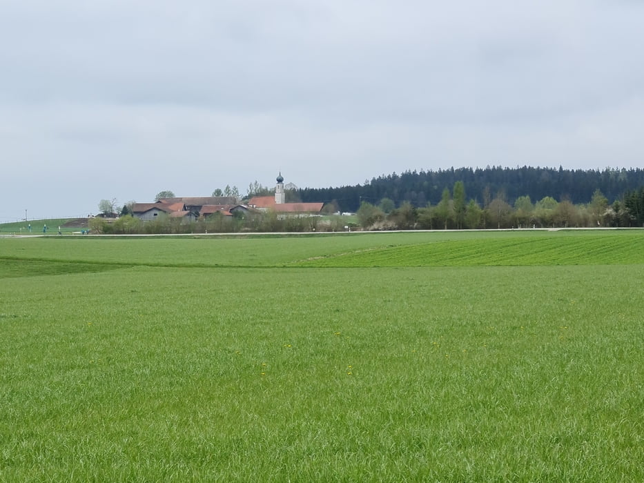
Wir starten in Schlacht und gehen mal in die andere Richtung, als immer nach Moosach. Sehr schöne Strecke mit viel Wald-Anteil. Etwas hügelig, so dass es abwechselungsreicher ist, als in der Münchner Kiesebene.
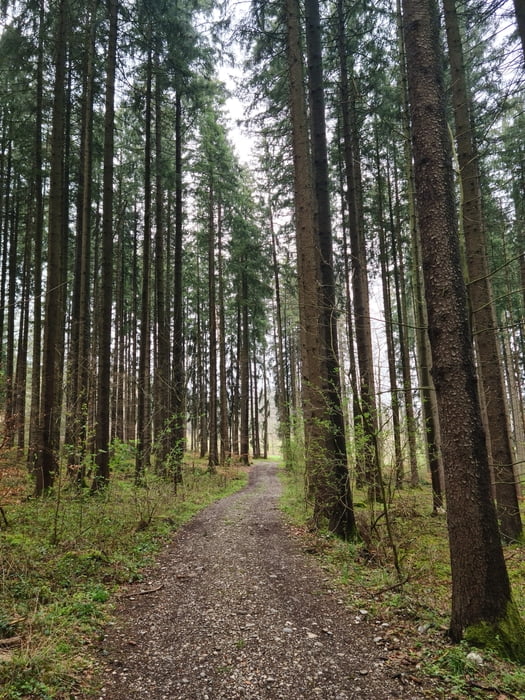
Die Wege sind in erster Linie auf Waldwegen und erst ganz am Schluß von Kastenseeon nach Schlacht ein kleines Stückchen Straße. Bei schlechtem Wetter kanns ein bisschen Matsch geben, aber das hält sich im Rahmen.
Nach der Strecke gibts zur Belohnung einen Kuchen im Kaffeekandl - bester Kuchen im ganzen Landkreis. Schön eingerichtetes Haus - aber wegen Corona genießen wir den Kuchen im Bussle.
Further information at
https://www.kaffeekandl.de/Tour gallery
Tour map and elevation profile
Minimum height 591 m
Maximum height 650 m
More about the tour author

|
smartandem |
Comments

Von München aus, auf der A99 bis Putzbrunn und dort Richtung Glonn fahren. ÜBer die ST2079 Richtung Glonn fahren und dann in Schlacht parken. Entweder am Möbelhaus MÖM oder beim Kaffeekandl.
Parken kostet nix.
GPS tracks
Trackpoints-
GPX / Garmin Map Source (gpx) download
-
TCX / Garmin Training Center® (tcx) download
-
CRS / Garmin Training Center® (crs) download
-
Google Earth (kml) download
-
G7ToWin (g7t) download
-
TTQV (trk) download
-
Overlay (ovl) download
-
Fugawi (txt) download
-
Kompass (DAV) Track (tk) download
-
Track data sheet (pdf) download
-
Original file of the author (gpx) download
More about the tour author
|
|
smartandem |
Add to my favorites
Remove from my favorites
Edit tags
Open track
My score
Rate