


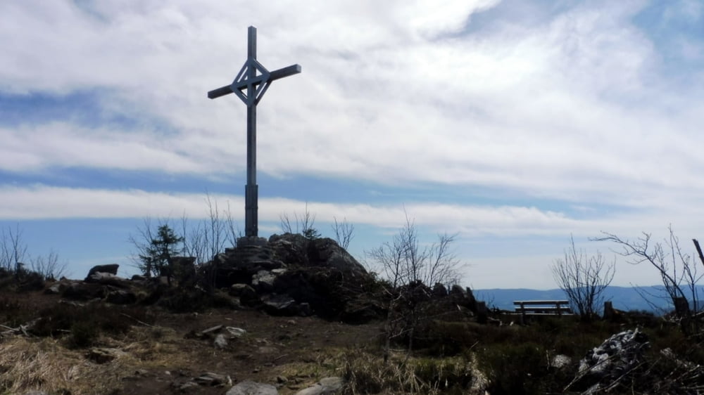
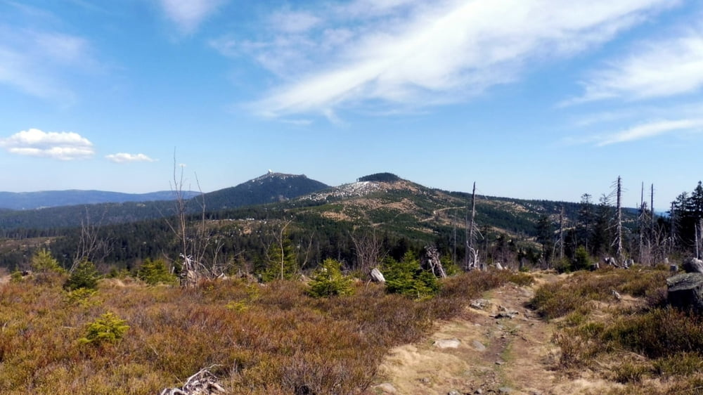
Wanderung von der Berghütte Schareben zum Heugstatt (1262 m), weiter zum Enzian (1267 m) und über den Hochstein (1134 m) wieder zurück.
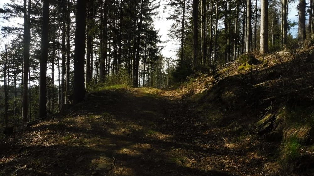
Tourinfos: Mittelschwere Wanderung. Abschnitte ohne Wegemarkierung.
Start und Ziel: Berghütte Schareben.
Markierung: Grünes Dreieck, Hauptwanderweg E6 Heugstatt – Arber, Wanderweg Nr. 7, Wanderweg Nr. 11 „Waldweg“.
Route: Berghütte Schareben – Markierung Grünes Dreieck – Schilderbaum auf dem Sattel – Hauptwanderweg E6 Heugstatt-Arber – Heugstatt, Abstecher zum Aussichtspunkt mit Gipfelkreuz – Enzian – Wanderweg Nr. 7 – unmarkierter Abschnitt – Wanderweg Nr. 11 – Abstecher zum Hochstein – Wanderweg Nr. 11 „Waldweg“ – Berghütte Schareben
POI: Berghütte Schareben, Heugstatt, Enzian, Hochstein
Tour gallery

Tour map and elevation profile
Minimum height 1009 m
Maximum height 1286 m
More about the tour author

|
ejee |
Comments

GPS tracks
Trackpoints-
GPX / Garmin Map Source (gpx) download
-
TCX / Garmin Training Center® (tcx) download
-
CRS / Garmin Training Center® (crs) download
-
Google Earth (kml) download
-
G7ToWin (g7t) download
-
TTQV (trk) download
-
Overlay (ovl) download
-
Fugawi (txt) download
-
Kompass (DAV) Track (tk) download
-
Track data sheet (pdf) download
-
Original file of the author (gpx) download
More about the tour author
|
|
ejee |
Add to my favorites
Remove from my favorites
Edit tags
Open track
My score
Rate