


Startpunkt ist der Parkplatz am Ende von Einöde.
Die Tour verläuft hauptsächlich auf MTB-Strecken (Weinbergroute, Beethovenweg, Anninger Trail, Unterer 3-Stunden Weg, Kientalroute, Anninger Uphill, Buchtal Trail, Gaadener Uphill, Pfaffstättner Tour),
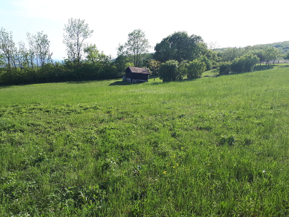
vorbei an der Veigelhütte, Richardhof, Krauste Linde, Anninger Schutzhaus und Wilhelmswarte.
Further information at
https://www.wienerwald.info/mountainbike-area-anningerTour gallery
Tour map and elevation profile
Minimum height 258 m
Maximum height 674 m
More about the tour author
|
|
kersti |
Comments

Parkmöglichkeit in Einöde.
Der Startpunkt ist ca. 2km vom Bahnhof Pfaffstätten entfernt.
GPS tracks
Trackpoints-
GPX / Garmin Map Source (gpx) download
-
TCX / Garmin Training Center® (tcx) download
-
CRS / Garmin Training Center® (crs) download
-
Google Earth (kml) download
-
G7ToWin (g7t) download
-
TTQV (trk) download
-
Overlay (ovl) download
-
Fugawi (txt) download
-
Kompass (DAV) Track (tk) download
-
Track data sheet (pdf) download
-
Original file of the author (gpx) download
More about the tour author
|
|
kersti |
Add to my favorites
Remove from my favorites
Edit tags
Open track
My score
Rate