


Vom Passauer Ortsteil Hals der Ilz entlang hinauf zur Veste Oberhaus, durch den Triftsperren-Tunnel der Ilzschleifen wieder zurück.
Hinweise: Leichte Wanderung.
Start/Ziel: Parkplatz am Pustetweg
Route: Parkplatz am Pustetweg – an der Ilz entlang – Veste Oberhaus mit Panoramablick auf Passau – auf Wald- und Wiesenwegen zurück nach Hals – Halser Stausee – Fischweiher - den Ilzschleifen durch den Triftsperren-Tunnel – Parkplatz am Pustetweg
POI: Triftsperren-Tunnel, Veste Oberhaus
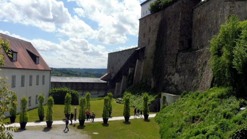
Tour gallery


Tour map and elevation profile
Minimum height 297 m
Maximum height 427 m
More about the tour author

|
ejee |
Comments

GPS tracks
Trackpoints-
GPX / Garmin Map Source (gpx) download
-
TCX / Garmin Training Center® (tcx) download
-
CRS / Garmin Training Center® (crs) download
-
Google Earth (kml) download
-
G7ToWin (g7t) download
-
TTQV (trk) download
-
Overlay (ovl) download
-
Fugawi (txt) download
-
Kompass (DAV) Track (tk) download
-
Track data sheet (pdf) download
-
Original file of the author (gpx) download
More about the tour author
|
|
ejee |
Add to my favorites
Remove from my favorites
Edit tags
Open track
My score
Rate