


- Rundkurs im Uhrzeigersinn.
- Start/Ziel: San Quirico d`Orcia - Hotel Palazzuolo.
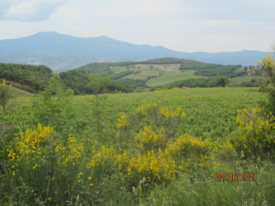
- Auf "Strade Bianche" bis kurz vor Montalcino.
- Von Montalcino Abfahrt auf Asfalt (kein Verkehr) bis Castelnuovo dell`Abate.
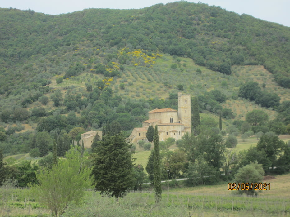
- Vorbei an der Kirche San Antimo 12 KM. auf "Strade Bianche" bis Montalcino. Einige etwas steilere Aufstiege.
- Von Montalcino kurze Abfahrt auf Asfalt bis zur Cantina di Montalcino.
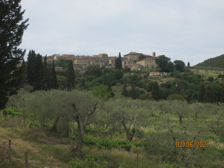
- Weiter auf "Strade Bianche bis nach Torrenieri (KM. 46) . Die Konditorei "Ticci" hat reichlich Auswahl an typischem Gebäck, kleinen Nudelgerichten sowie Käse und Wurstspezialitäten aus der Region.
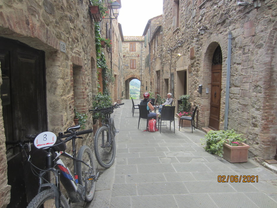
- Bis nach San Quirico d`Orcia auf kaum befahrener Provinzstrase.
- Start/Ziel ist das Hotel Restaurant "Palazzuolo". Panoramalage, grosses Schwimmbad mit riesiger Liegewiese, Fahrradgarage.
- PS. Das Haus verleiht E-Bikes. Habe eines getestet; 53 KM, 1.200 HM. , Eco/Tour, Akku 50%.
- PS. Bin die Tour mit dem E-MTB gefahren.
Tour gallery

Tour map and elevation profile
Minimum height 219 m
Maximum height 633 m
More about the tour author
|
|
MargesinFriedrich |
Comments

GPS tracks
Trackpoints-
GPX / Garmin Map Source (gpx) download
-
TCX / Garmin Training Center® (tcx) download
-
CRS / Garmin Training Center® (crs) download
-
Google Earth (kml) download
-
G7ToWin (g7t) download
-
TTQV (trk) download
-
Overlay (ovl) download
-
Fugawi (txt) download
-
Kompass (DAV) Track (tk) download
-
Track data sheet (pdf) download
-
Original file of the author (gpx) download
More about the tour author
|
|
MargesinFriedrich |
Add to my favorites
Remove from my favorites
Edit tags
Open track
My score
Rate