


- Rundkurs im Uhrzeigersinn.
- Start/Ziel: San Quirico d`Orcia/Hotel Palazzuolo
- 95% der Tour werden auf den sog. Strade Bianche, bzw. Feldwegen geradelt.
- Eine gute Kondition benötigt man für die kurzen, jedoch steilen Anstiege. Speziell die Betonrampe von Bagno Vignoni(KM 37 - MH 300) bis Castel Vignoni (KM 39,7 - MH 490) am Ende der Tour hat es in sich.
- KM 16 Kapelle von Vitaleta (Film-Drehort: Der Legionär).
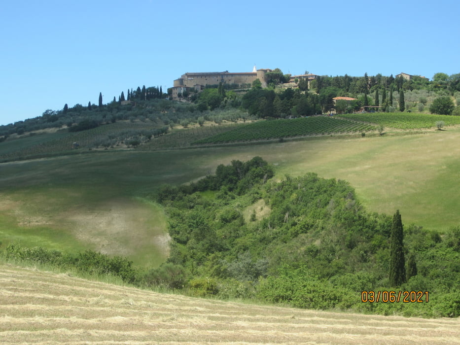
- KM 21,7 Pienza.
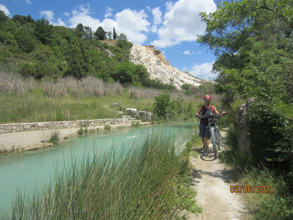
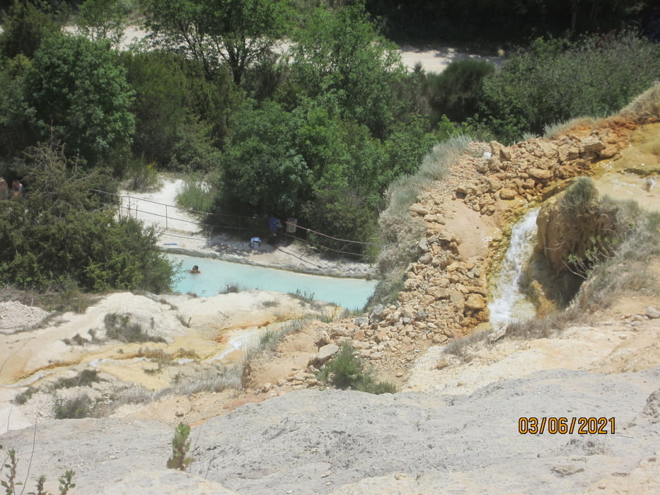
- KM 36 Parco dei Mulini, unterhalb von Bagno Vignoni. Das Thermal Becken ist frei zugänglich.
- KM 37 Bagno Vignoni. Bekanntes Thermalwasser-Becken. Mehrere Trattorie.
- KM 39,7 Castel Vignoni (MH 490).
- KM 42,5 San Quirico d`Orcia/Hotel Palazzuolo. Panoramahotel mit Schwimmbad. Bike-freundlich. Verleih von passablen E-Bikes(Hardtail).
Tour gallery


Tour map and elevation profile
Minimum height 236 m
Maximum height 522 m
More about the tour author
|
|
MargesinFriedrich |
Comments

GPS tracks
Trackpoints-
GPX / Garmin Map Source (gpx) download
-
TCX / Garmin Training Center® (tcx) download
-
CRS / Garmin Training Center® (crs) download
-
Google Earth (kml) download
-
G7ToWin (g7t) download
-
TTQV (trk) download
-
Overlay (ovl) download
-
Fugawi (txt) download
-
Kompass (DAV) Track (tk) download
-
Track data sheet (pdf) download
-
Original file of the author (gpx) download
More about the tour author
|
|
MargesinFriedrich |
Add to my favorites
Remove from my favorites
Edit tags
Open track
My score
Rate