


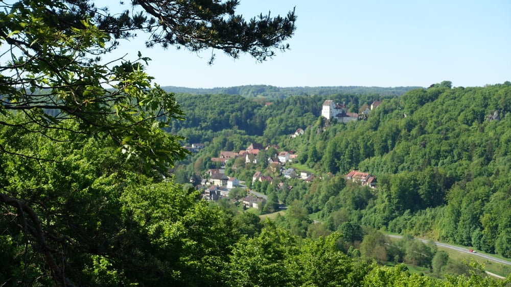
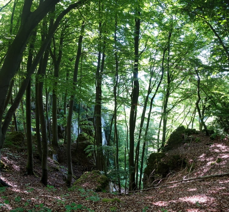
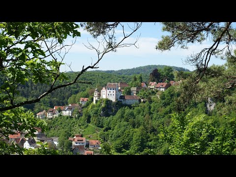
Eine aussichtsreiche Tour, immer wieder Blicke auf Egloffstein und das Trubachtal. Meist geht es in kühlem Mischwald dahin:
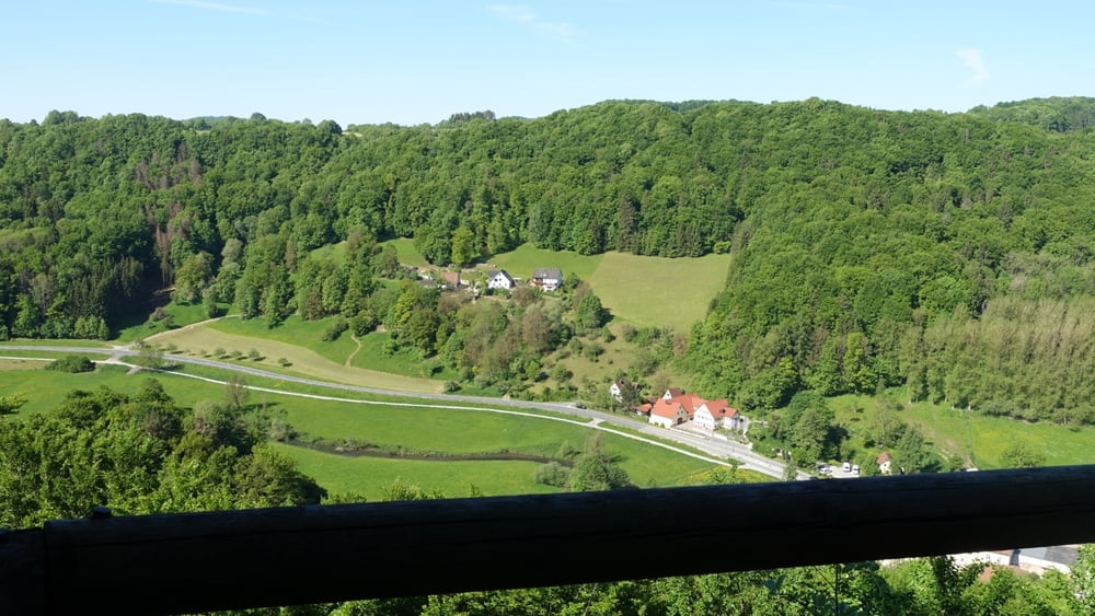
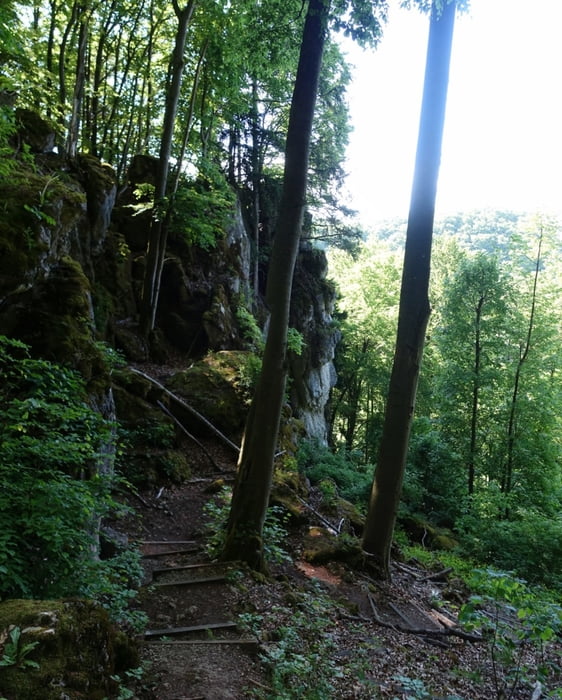
Vom Parkplatz gehen wir zum Freibad. An Steg führt der sonnige Talweg direkt nach Mostviel; wir gehen jedoch über den Steg zur Straße, queren diese und über Stufen aufwärts zur Straße, kurz links, dann rechts in der Rabensteinstraße bis Ende. Im Hochwald weiter, nach ca. 1,2 km auf leicht übersehbarem Weg rechts abwärts nach Mostviel. Links durch den Ort, Kurz nach Gasthaus an leichter Linkskurve kräftig bergan. An Abweigung im Wald scharf rechts zum 1. Aussichtspunkt "Spiegelfelsen".. Links ab auf steilem "Gerhard Stude Gedächtnisweg" über Treppenpfad zum Brunnleitental. Kurz rechts, dann links über Wiese aufwärts zum 2. Aussichtspunkt "Balkenstein". Nun ziemlich eben im Hochwald zum 3. Aussichtspunkt "Pfarrfelsen".
Länger im Wald weiter, an Wiese rechts etwas steiler bergab nach Egloffstein und zum Parkplatz.
Anm.:
Für den ziemlich steilen Stude- Steig unbedingt festes Schuhwerk erforderlich!
Rundweg auch von Mostviel aus möglich, doch dort keine öffentliche Parkmöglichkeit! Nur Privatparkplatz am Gasthaus!
Tour gallery
Tour map and elevation profile
Minimum height 346 m
Maximum height 488 m
More about the tour author
|
|
heinz-57 |
Comments

Von Gräfenberg kommend nach Egloffstein. Nach Ortsanfang Linkskurve, über Brücke scharf links Parkplatz.
GPS tracks
Trackpoints-
GPX / Garmin Map Source (gpx) download
-
TCX / Garmin Training Center® (tcx) download
-
CRS / Garmin Training Center® (crs) download
-
Google Earth (kml) download
-
G7ToWin (g7t) download
-
TTQV (trk) download
-
Overlay (ovl) download
-
Fugawi (txt) download
-
Kompass (DAV) Track (tk) download
-
Track data sheet (pdf) download
-
Original file of the author (gpx) download
More about the tour author
|
|
heinz-57 |
Add to my favorites
Remove from my favorites
Edit tags
Open track
My score
Rate