
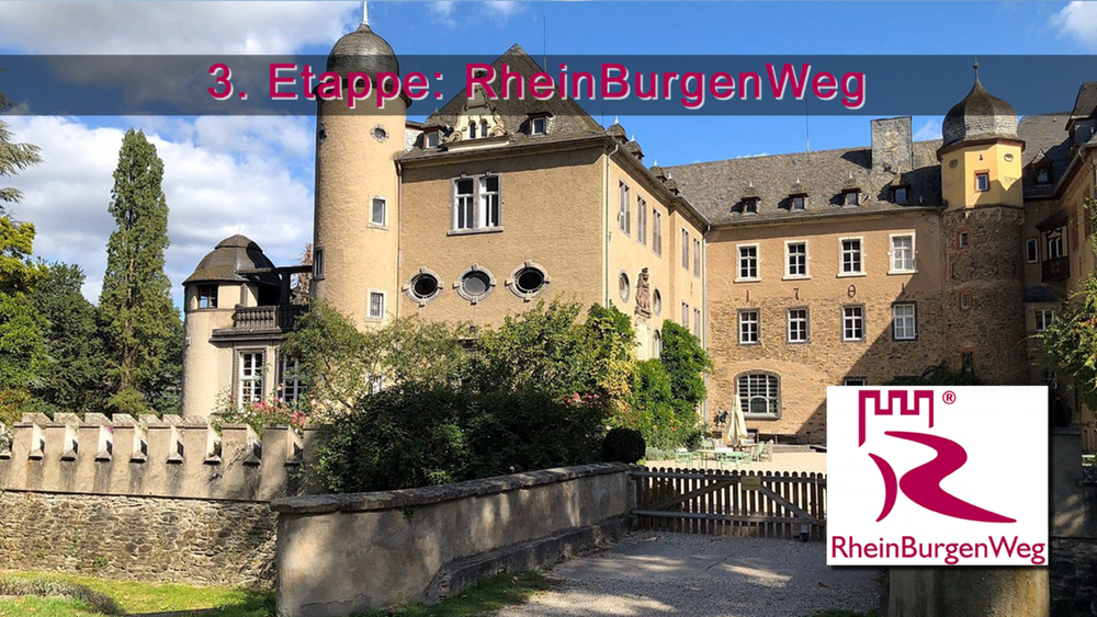

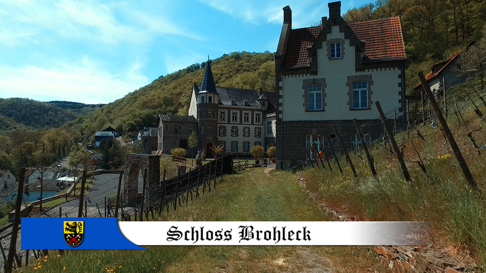
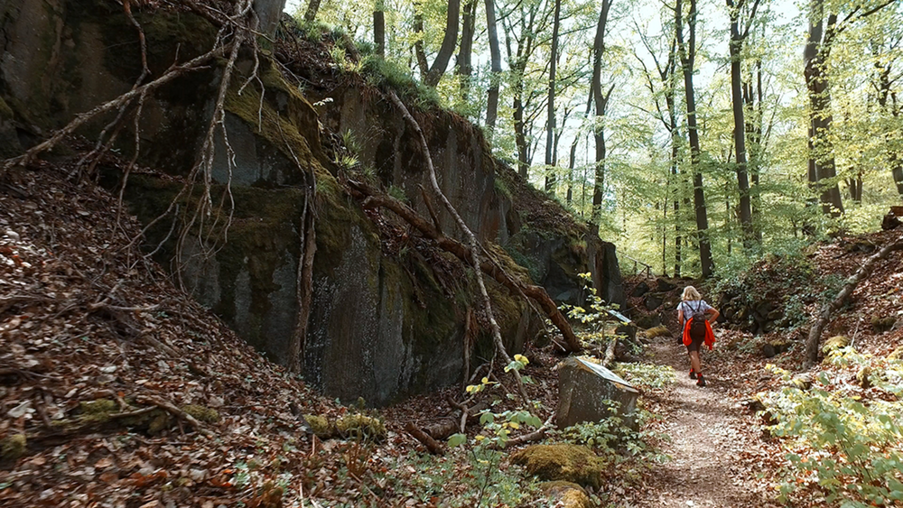
Die heutige Etappe starten wir an der Tennisanlage von Bad Breisig. Nach dem Ersten anstieg geht es ins Vinxtbachtal. Es folgt ein Anstieg vorbei an der Vinxtbachtal mit anschießendem Blick ins Rheintal. Burg Brohleck ist die nächste Burg die wir passieren bevor es zum Höchsten Punkt der Etappe geht. Bei einigen Wanderführern endet die 3 Etappe in Namedy, unsere GPS Daten enden erst an der L116 bei Andernach.
Tour gallery

Tour map and elevation profile
Minimum height 53 m
Maximum height 325 m
More about the tour author
|
|
schleidy |
Comments

GPS tracks
Trackpoints-
GPX / Garmin Map Source (gpx) download
-
TCX / Garmin Training Center® (tcx) download
-
CRS / Garmin Training Center® (crs) download
-
Google Earth (kml) download
-
G7ToWin (g7t) download
-
TTQV (trk) download
-
Overlay (ovl) download
-
Fugawi (txt) download
-
Kompass (DAV) Track (tk) download
-
Track data sheet (pdf) download
-
Original file of the author (gpx) download
More about the tour author
|
|
schleidy |
Add to my favorites
Remove from my favorites
Edit tags
Open track
My score
Rate