


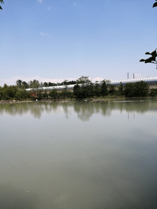
Von Klagenfurt Rotkreuz-Zentrale entlang der Glan und Hinterberg nach Kosasmojach zur Annabrücke. Den Drauradweg bis zur Tainacher Brücke - über die Brücke und gleich wieder links zum Dullacherhafen, Admont über den Koralmerkundungsweg. Der Versuch, entlang der Drau nach Grafenstein zu kommen, endet bei der alten Eisenbahnbrücke, dort gibt es kein Durchkommen zum eingezeichneten Feldweg. Also zurück zur Neuen Brücke und hinauf zur Landesstraße - über Althofen nach Grafenstein und am Bahnbegleitweg weiter nach Klagenfurt.
Tour gallery


Tour map and elevation profile
Minimum height 432 m
Maximum height 583 m
More about the tour author
|
|
walderich |
Comments

GPS tracks
Trackpoints-
GPX / Garmin Map Source (gpx) download
-
TCX / Garmin Training Center® (tcx) download
-
CRS / Garmin Training Center® (crs) download
-
Google Earth (kml) download
-
G7ToWin (g7t) download
-
TTQV (trk) download
-
Overlay (ovl) download
-
Fugawi (txt) download
-
Kompass (DAV) Track (tk) download
-
Track data sheet (pdf) download
-
Original file of the author (gpx) download
More about the tour author
|
|
walderich |
Add to my favorites
Remove from my favorites
Edit tags
Open track
My score
Rate