

- Rundkurs gegen den Uhrzeigersinn.
- Start/Ziel: Marling/Meran.
- Auf dem Radweg nach Burgstall. Mit der Seilbahn nach Vöran.
- Auf Asfalt bis zur Leadner Alm. Weiter auf Schotter bis zur Vöraneralm.
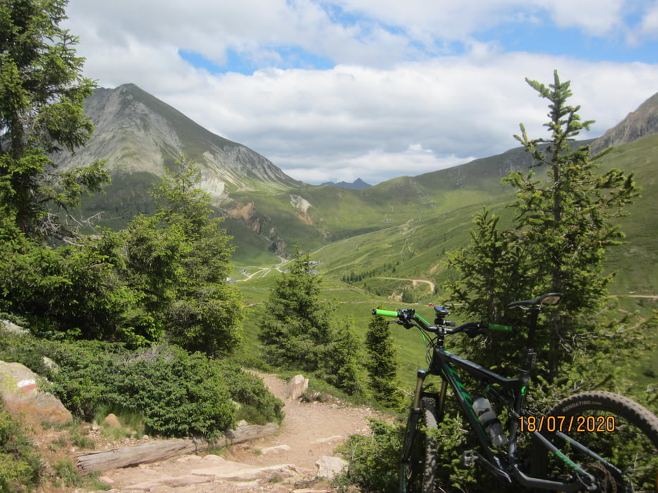
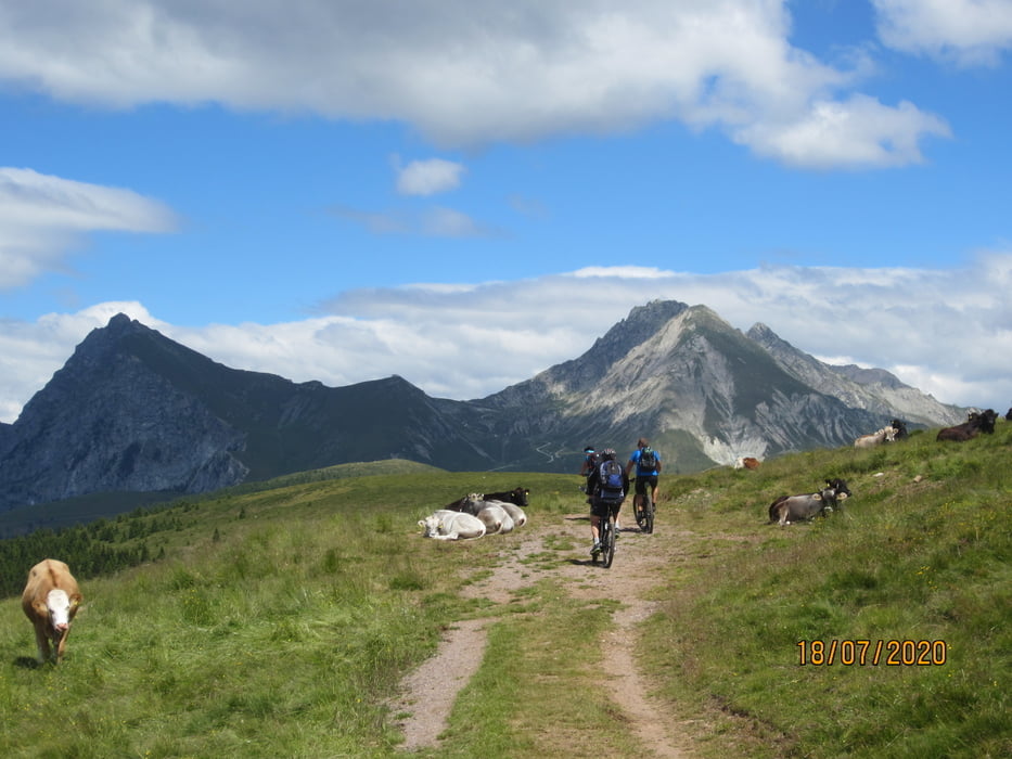
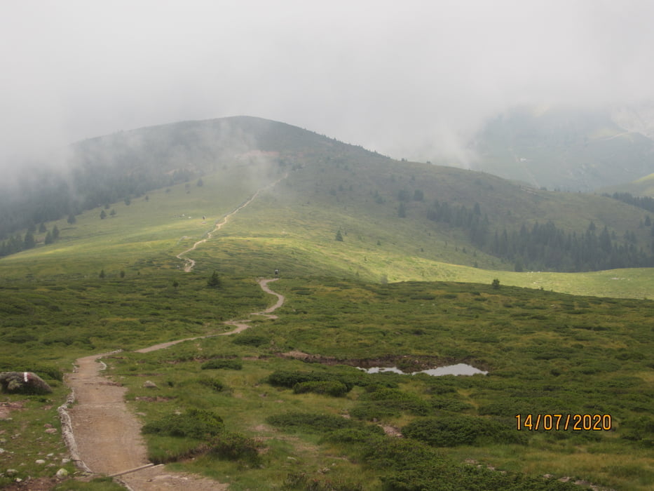
- Weiter auf Schotter, Almwegen, breiten Fusswegen über den Bergrücken zur Meraner Hütte.
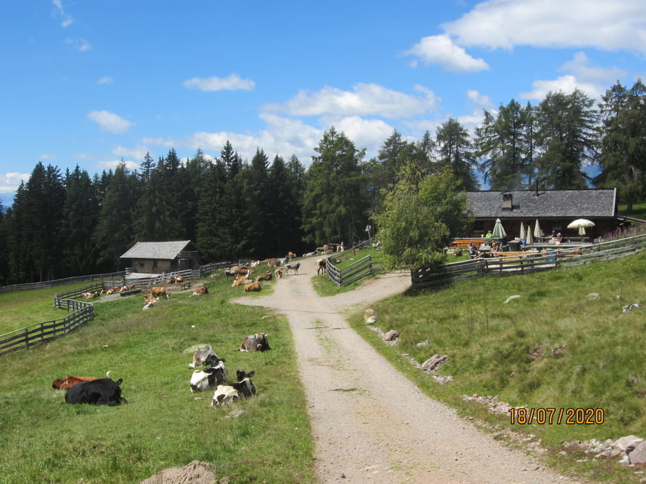
- Von dort auf Schotter zur Moschwaldalm. Anschliessend talwärts bis zum Haflinger Kirchlein.
- Vom Haflinger Kirchlein(MH 1.250-KM 39,4) auf anfangs steilem Steig, bzw. sehr steilem Schotterweg zum Gasthof Greiter. Weiter auf einem Fussweg, stellenweise grobschottrig und steil bis zum Schloss Fragsburg. Nach 1 KM Asfalt auf flowigem Wald-, Wiesenweg, am Schloss Trautmannsdorf vorbei, in die Talsohle (MH 355-KM 46).
- Schwierigkeitsgrad: S2 mit S3 Abschnitten.
- PS. Mit dem Rad wurden 1.085 HM bewältigt.
Tour gallery

Tour map and elevation profile
Minimum height 244 m
Maximum height 2029 m
More about the tour author
|
|
MargesinFriedrich |
Comments

GPS tracks
Trackpoints-
GPX / Garmin Map Source (gpx) download
-
TCX / Garmin Training Center® (tcx) download
-
CRS / Garmin Training Center® (crs) download
-
Google Earth (kml) download
-
G7ToWin (g7t) download
-
TTQV (trk) download
-
Overlay (ovl) download
-
Fugawi (txt) download
-
Kompass (DAV) Track (tk) download
-
Track data sheet (pdf) download
-
Original file of the author (gpx) download
More about the tour author
|
|
MargesinFriedrich |
Add to my favorites
Remove from my favorites
Edit tags
Open track
My score
Rate