


Von Gumpenried an den Regenhängen entlang und hinauf zur Burgruine Altnußberg. Über den Knogelberg (705 m) wieder zurück.
Hinweise: Mittelschwere Wanderung. An-/ Abreise wahlweise mit Waldbahn oder PKW möglich.
Start/Ziel: Gumpenried, Hst bzw P
Markierung: Wanderweg Nr. 3, Nr. 2, Nr. 1
Route: Gumpenried – Burgruine Altnußberg – Hofbei-Kapelle – Knogelberg (705 m) – Gumpenried
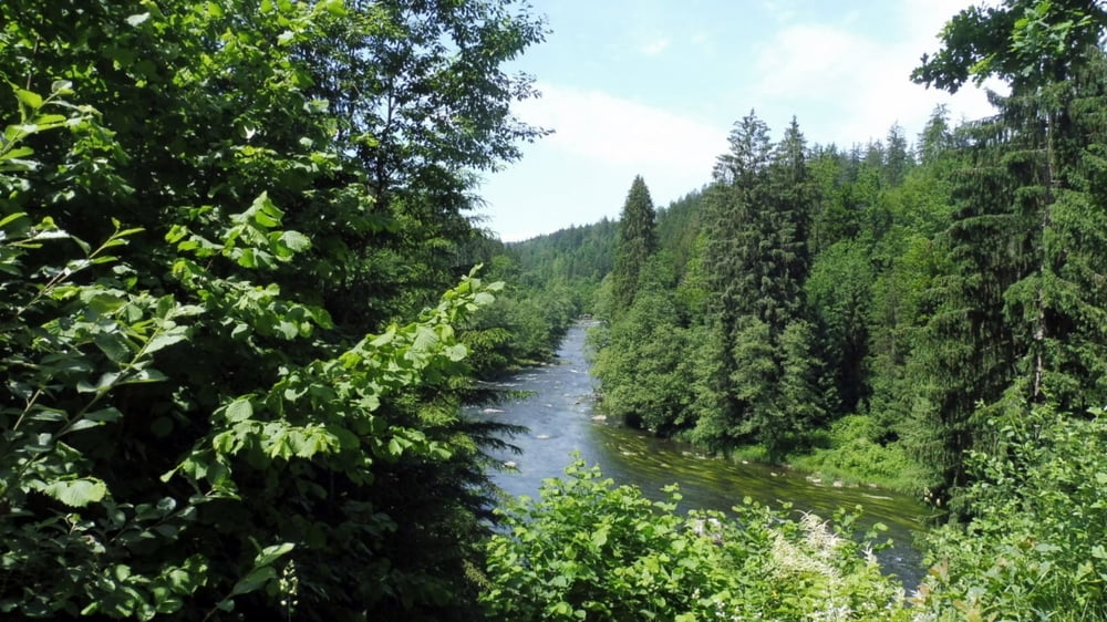
POI: Bayrisch Kanada am Regen entlang, Burgruine Altnußberg, Hofbei-Kapelle, Knogelberg (705 m)
Tour gallery


Tour map and elevation profile
Minimum height 417 m
Maximum height 689 m
More about the tour author

|
ejee |
Comments

GPS tracks
Trackpoints-
GPX / Garmin Map Source (gpx) download
-
TCX / Garmin Training Center® (tcx) download
-
CRS / Garmin Training Center® (crs) download
-
Google Earth (kml) download
-
G7ToWin (g7t) download
-
TTQV (trk) download
-
Overlay (ovl) download
-
Fugawi (txt) download
-
Kompass (DAV) Track (tk) download
-
Track data sheet (pdf) download
-
Original file of the author (gpx) download
More about the tour author
|
|
ejee |
Add to my favorites
Remove from my favorites
Edit tags
Open track
My score
Rate