


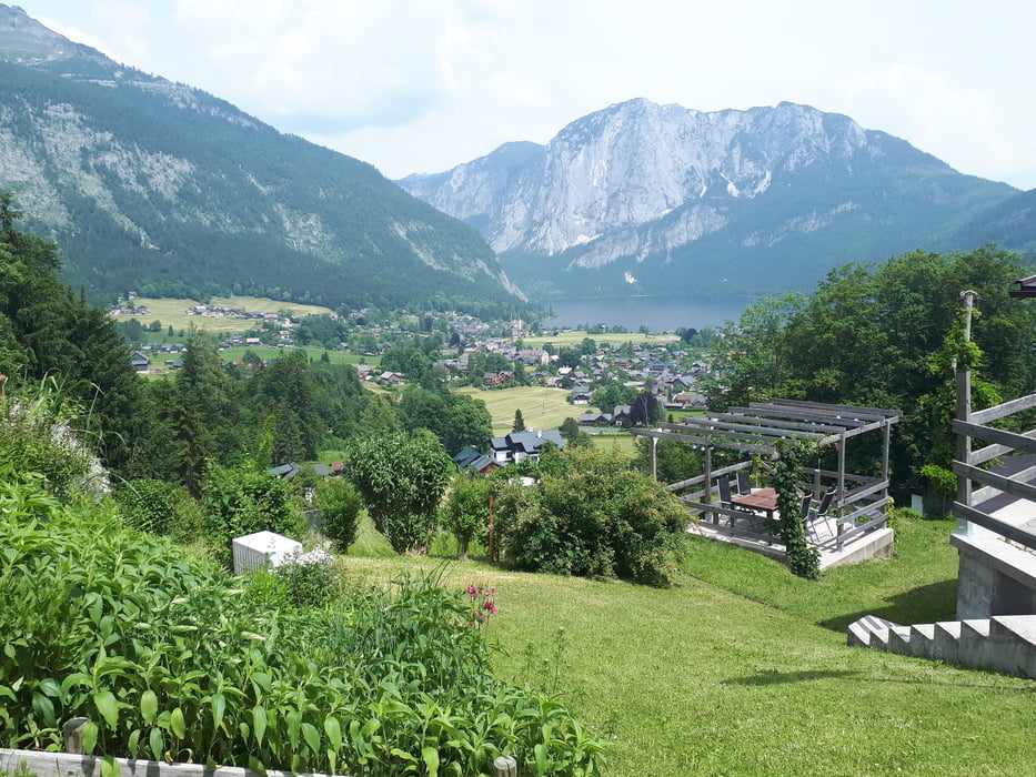
Start der Tour ist in Bad Ischl in der Hintersteinstraße.
Die Strecke verläuft hauptsächlich auf MTB-Strecken und Radwege.
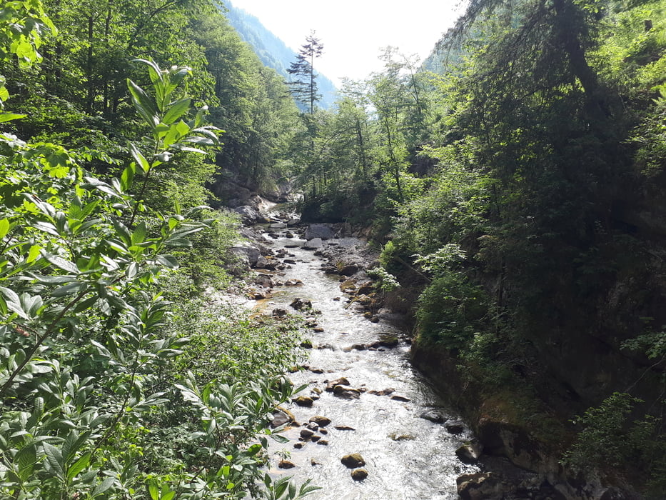
Durch die Rettenbachklamm, und den Grabenbach entlang, geht es auf die Hintere Sandlingalm.
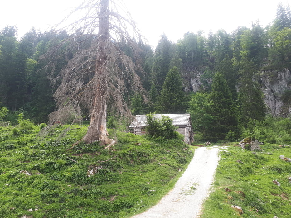
Von der Sandlingalm verläuft ein Wanderweg (teilweise fahrbar) über Pitzingmoos zur Blaa Alm-Strecke, die hinunter zur Blaa- Alm und nach Altaussee führt.
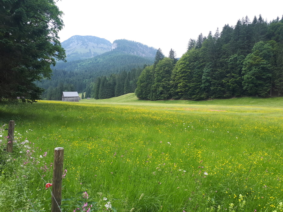
Ab Altaussee geht es durch Waldgraben, vorbei an Pichlern zur Rossmoosalm, und weiter zur Ewigen Wand.
Von der Ewigen Wand über ein Teilstück der "Salzkammergut Trophy Strecke" und einen Wanderweg (sehr steinig/felsig) zurück nach Bad Ischl.
Further information at
http://www.willkommeninaltaussee.at/Einschränkungen
On this tour there is a cycling ban on 1.5 kilometers!
This tour has a carry or push section on 1.5 kilometers
Tour gallery
Tour map and elevation profile
Minimum height 490 m
Maximum height 1277 m
More about the tour author
|
|
kersti |
Comments

Parkmöglichkeit in der Hintersteinstraße, am Beginn der Rettenbachklamm.
Einschränkungen
On this tour there is a cycling ban on 1.5 kilometers!
This tour has a carry or push section on 1.5 kilometers
GPS tracks
Trackpoints-
GPX / Garmin Map Source (gpx) download
-
TCX / Garmin Training Center® (tcx) download
-
CRS / Garmin Training Center® (crs) download
-
Google Earth (kml) download
-
G7ToWin (g7t) download
-
TTQV (trk) download
-
Overlay (ovl) download
-
Fugawi (txt) download
-
Kompass (DAV) Track (tk) download
-
Track data sheet (pdf) download
-
Original file of the author (gpx) download
More about the tour author
|
|
kersti |
Add to my favorites
Remove from my favorites
Edit tags
Open track
My score
Rate