


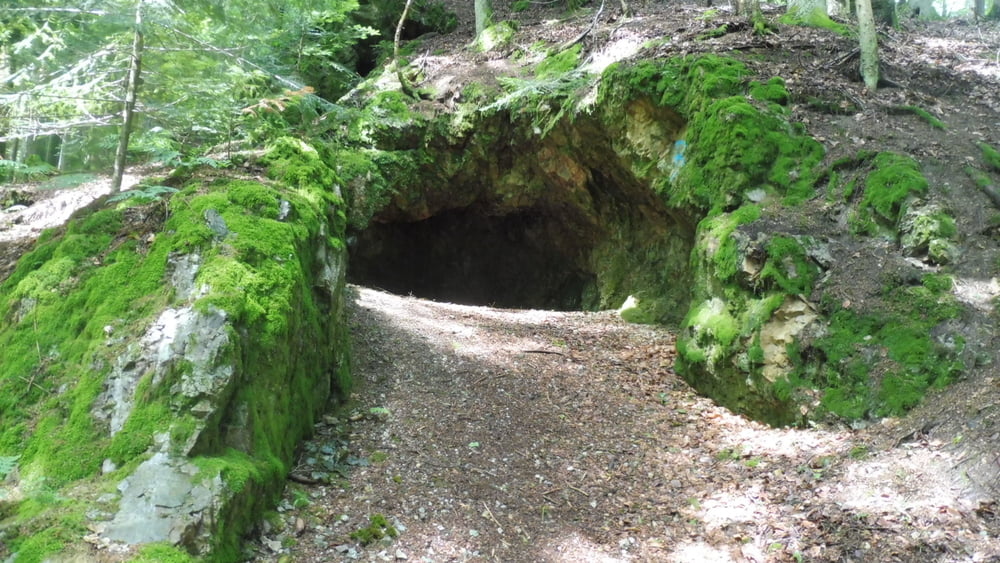
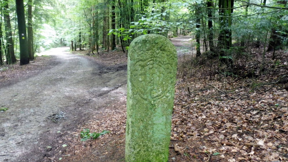
Vorbei an historischen Grenzsteinen und einer Quarzhöhle zum Geistlichen Stein (731 m) und über den Kräuterweg wieder zurück. Wer mag, erweitert die Tour zum Keltendorf Gabreta.
Hinweise: Mittelschwere Wanderung.
Start/Ziel: Parkplatz am Sportplatz.
Markierung: Scherben-Symbol/zerbrochener Krug.
Route: Ringelai, Parkplatz am Sportplatz – Heindlmühle – Historischer Grenzstein – Quarzhöhle – Geistlicher Stein - Kapelle bei Kringing – Abzweigung zum Keltendorf Gabreta – Kräuterweg – Ringelai, Parkplatz am Sportplatz
POI: Historischer Grenzstein, Quarzhöhle, Geistlicher Stein (731 m), Kräuterweg
Tour gallery

Tour map and elevation profile
Minimum height 403 m
Maximum height 733 m
More about the tour author

|
ejee |
Comments

GPS tracks
Trackpoints-
GPX / Garmin Map Source (gpx) download
-
TCX / Garmin Training Center® (tcx) download
-
CRS / Garmin Training Center® (crs) download
-
Google Earth (kml) download
-
G7ToWin (g7t) download
-
TTQV (trk) download
-
Overlay (ovl) download
-
Fugawi (txt) download
-
Kompass (DAV) Track (tk) download
-
Track data sheet (pdf) download
-
Original file of the author (gpx) download
More about the tour author
|
|
ejee |
Add to my favorites
Remove from my favorites
Edit tags
Open track
My score
Rate