Login

Forgot your login?

Cookies have to be accepted!
Your browser's cookie functionality is disabled. Please enable this functionality.

Not a member yet?

Register now
Login

Available for registred users only

Log in to use this feature.

Forgot your login?

Cookies have to be accepted!
Your browser's cookie functionality is disabled. Please enable this functionality.

Not a member yet?

Register now
Filter
Categories
Advanced filters
  • Distance (km)
  • Height
Save filters Reset filter

TrackRank

QRCode

Technical data

Distance75,3 km Height232 m Way down219 m Duration03:10 h:m Date03.07.2021
Scores Author Landscape Fun factor Fitness Technique

Statistics

183 Views Scores 3 Downloads Average
Rate
  • Track data sheet
  • Directions
  • Downloads
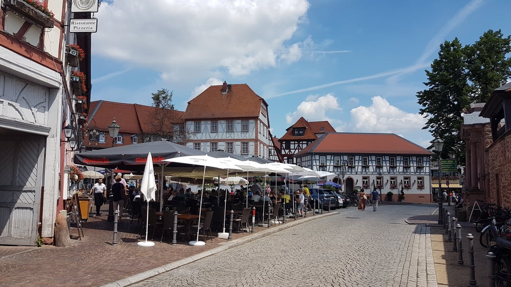
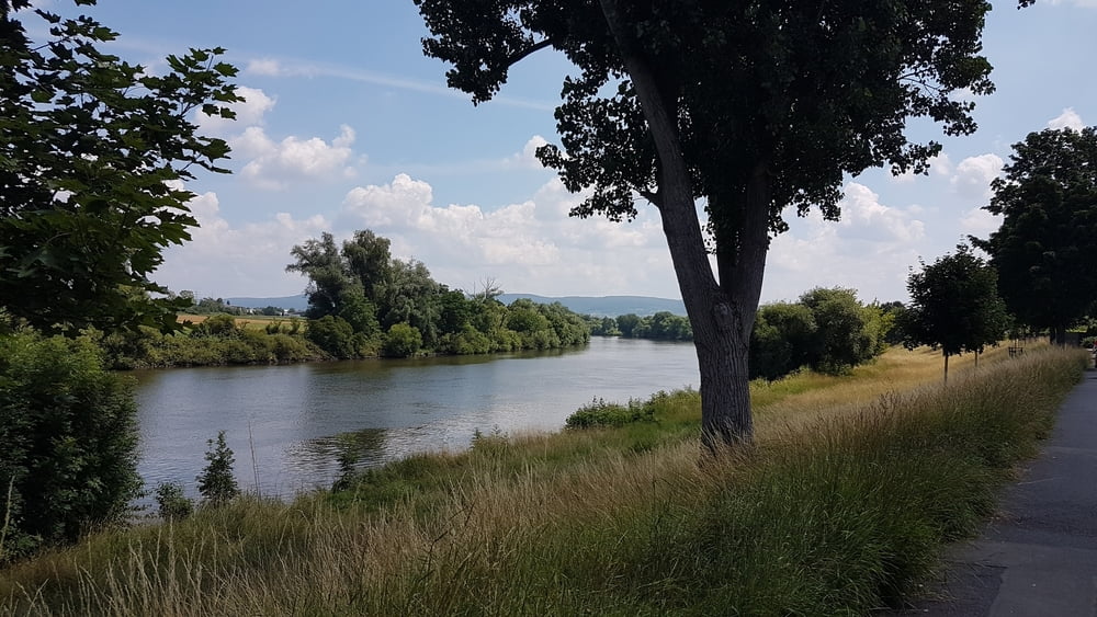
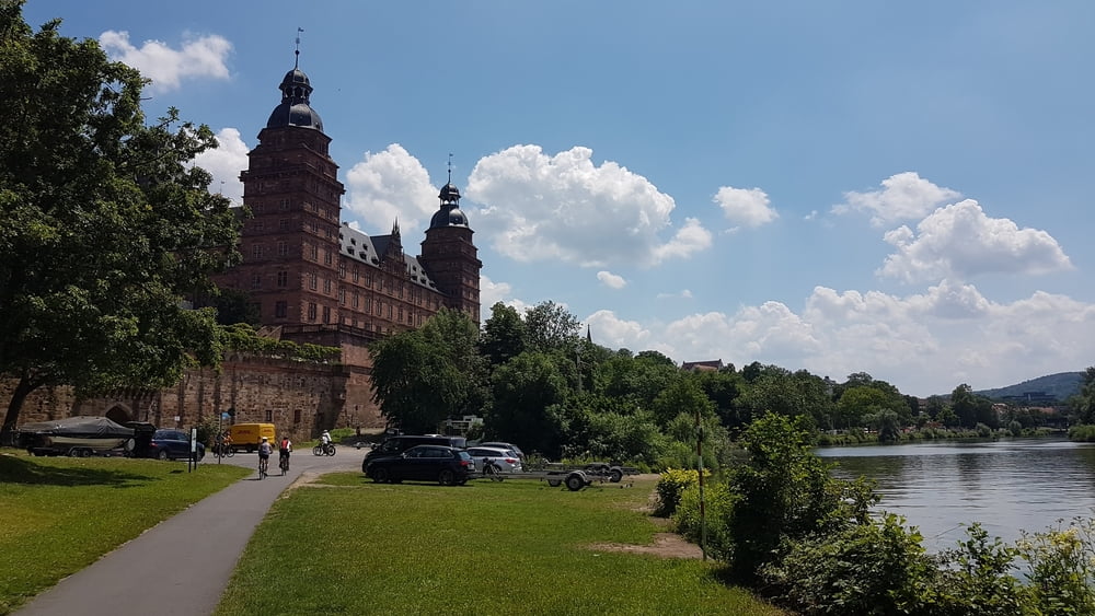
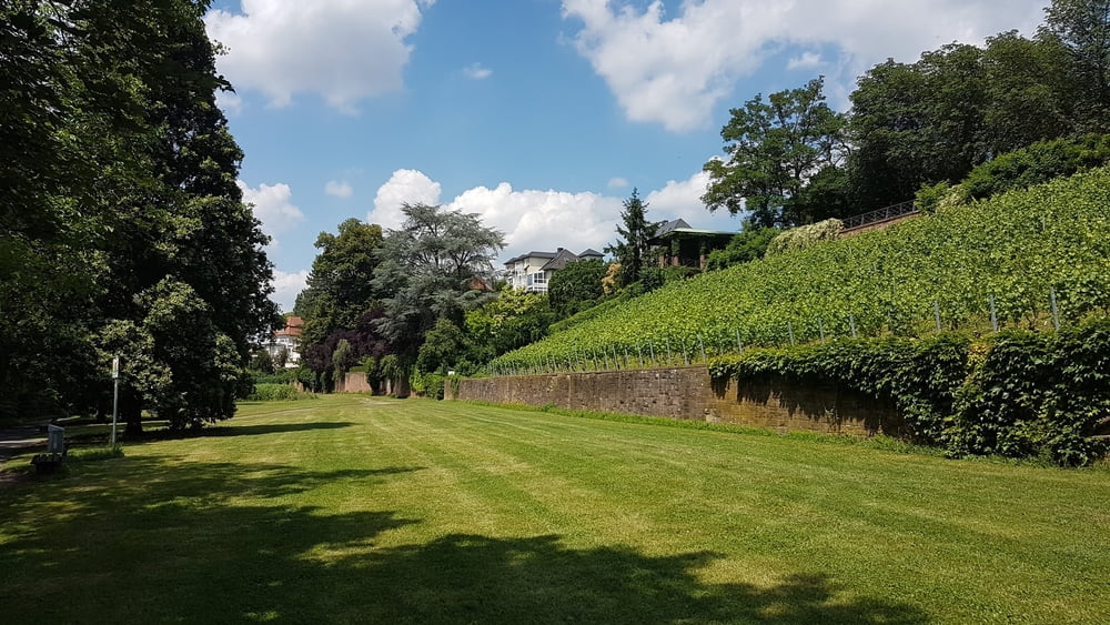
Tour von Dieburg nach Seligenstadt. Dann weiter entlang des Mainradwegs bis nach Aschaffenburg und wieder zurück nach Dieburg.

Further information at

https://de.wikipedia.org/wiki/Seligenstadt

Tour gallery

Tour map and elevation profile

  • Open Street Map
  • Google
Minimum height 112 m Maximum height 169 m Detailed view

More about the tour author

riemchens
Member since 2009

Send private message

Comments

Auf der B26 von Darmstadt nach Dieburg

GPS tracks

Trackpoints
  • GPX / Garmin Map Source (gpx) download
  • TCX / Garmin Training Center® (tcx) download
  • CRS / Garmin Training Center® (crs) download
  • Google Earth (kml) download
  • G7ToWin (g7t) download
  • TTQV (trk) download
  • Overlay (ovl) download
  • Fugawi (txt) download
  • Kompass (DAV) Track (tk) download
  • Track data sheet (pdf) download
  • Original file of the author (gpx) download

More about the tour author

riemchens
Member since 2009

Send private message
Share track
Add to my favorites
Remove from my favorites
Edit tags
My score
Rate
Track: Dieburg - Seligenstadt - Aschaffenburg
Type: Trekkingbike
Distance: 75,3 km
Evaluated on:
Duration:
Day(s)
Hour(s)
Minute(s)
Score: Landscape Fun factor Fitness Technique