


Start der Tour ist in Naggl.
Von Naggl geht es über eine MTB- Strecke auf die Naggler Alm, und über den Panorama WEST - Trail Richtung Talstation.
Kurz vor der Talstation zweigt eine Forststraße zur Gatschacher Weide ab.
Die MTB- Strecke "Gatschacher Weide" verläuft vorbei am Wunderbaum zur Seepromenade, die nach Techendorf führt.
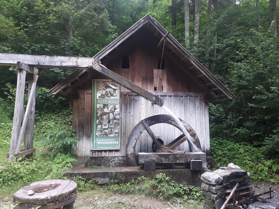
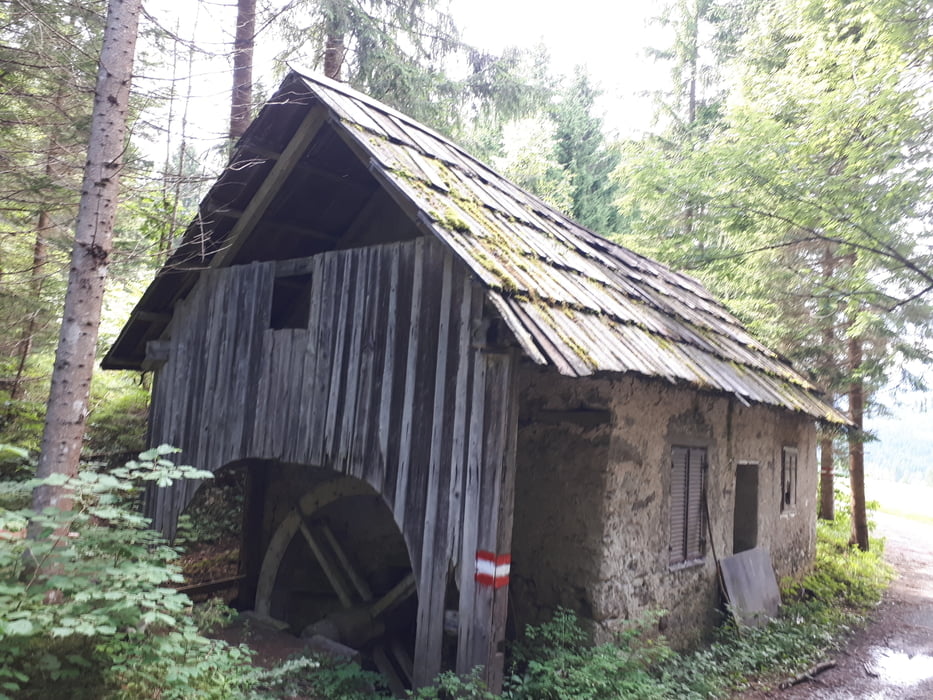
In Techendorf Richtung Talstation, und über den Waldweg, vorbei an der alten Mühle, zurück nach Naggl.
Further information at
https://www.weissensee.com/Tour gallery

Tour map and elevation profile
Minimum height 931 m
Maximum height 1361 m
More about the tour author
|
|
kersti |
Comments

Gebührenpflichtige Parkplätze in Naggl
GPS tracks
Trackpoints-
GPX / Garmin Map Source (gpx) download
-
TCX / Garmin Training Center® (tcx) download
-
CRS / Garmin Training Center® (crs) download
-
Google Earth (kml) download
-
G7ToWin (g7t) download
-
TTQV (trk) download
-
Overlay (ovl) download
-
Fugawi (txt) download
-
Kompass (DAV) Track (tk) download
-
Track data sheet (pdf) download
-
Original file of the author (gpx) download
More about the tour author
|
|
kersti |
Add to my favorites
Remove from my favorites
Edit tags
Open track
My score
Rate