


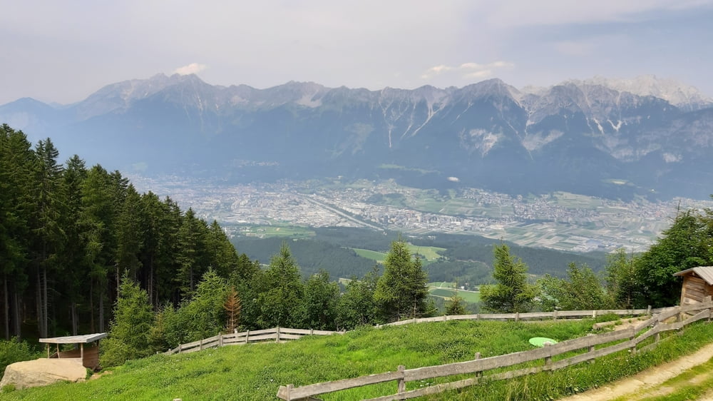
Schöne Auffahrt zum Lanser See,
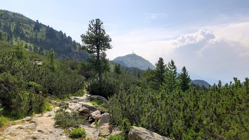
Auf der Aldranser Alm gute Kaspressknödelsuppe gegessen. Bis zur Isshütte weiter gut fahrbar auf schönen Schotterwegen. Dann ca 20' Aufstieg zum Zirbenweg. Von da leicht bergauf-ab zur Tulfeiner Alm.
Radln ist auf dem Zirbenweg untersagt.
Von der Tulfeinalm wieder auf Schotter runter nach Tulfes und dann über die Dörfer zurück nach Innsbruck.
Einschränkungen
On this tour there is a cycling ban on 4.5 kilometers!
Tour gallery
Tour map and elevation profile
Minimum height 592 m
Maximum height 2052 m
More about the tour author
|
|
mitter |
Comments

Einschränkungen
On this tour there is a cycling ban on 4.5 kilometers!
GPS tracks
Trackpoints-
GPX / Garmin Map Source (gpx) download
-
TCX / Garmin Training Center® (tcx) download
-
CRS / Garmin Training Center® (crs) download
-
Google Earth (kml) download
-
G7ToWin (g7t) download
-
TTQV (trk) download
-
Overlay (ovl) download
-
Fugawi (txt) download
-
Kompass (DAV) Track (tk) download
-
Track data sheet (pdf) download
-
Original file of the author (gpx) download
More about the tour author
|
|
mitter |
Add to my favorites
Remove from my favorites
Edit tags
Open track
My score
Rate