
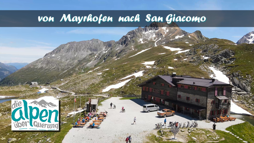

Am Schlegeis-Speichersee entlang gehet es in das Zamser Grundtal hinein. Bis zur Lavitz Alm steigt der Wanderweg langsam an. Die letzten Meter zur Italienischen Grenze werden dann etwas steiler. Am Pitscher Joch überschreiten wir die Grenz nach Italien und gelangen zum Pitscher-Joch-Haus. Von dort geht es durch das Pischtal abwärts bis nach San Giacomo wo die Etappe Endet. Unser Hotel befand sich in Kematen was zur Folge hatte das noch 4 km vor uns lagen.
Tour gallery


Tour map and elevation profile
Minimum height 1453 m
Maximum height 2275 m
More about the tour author
|
|
schleidy |
Comments

GPS tracks
Trackpoints-
GPX / Garmin Map Source (gpx) download
-
TCX / Garmin Training Center® (tcx) download
-
CRS / Garmin Training Center® (crs) download
-
Google Earth (kml) download
-
G7ToWin (g7t) download
-
TTQV (trk) download
-
Overlay (ovl) download
-
Fugawi (txt) download
-
Kompass (DAV) Track (tk) download
-
Track data sheet (pdf) download
-
Original file of the author (gpx) download
More about the tour author
|
|
schleidy |
Add to my favorites
Remove from my favorites
Edit tags
Open track
My score
Rate