Login

Forgot your login?

Cookies have to be accepted!
Your browser's cookie functionality is disabled. Please enable this functionality.

Not a member yet?

Register now
Login

Available for registred users only

Log in to use this feature.

Forgot your login?

Cookies have to be accepted!
Your browser's cookie functionality is disabled. Please enable this functionality.

Not a member yet?

Register now
Filter
Categories
Advanced filters
  • Distance (km)
  • Height
Save filters Reset filter

TrackRank

QRCode

Technical data

Distance49,4 km Height862 m Way down853 m Duration04:30 h:m Date01.08.2021
Scores Author Landscape Fun factor Fitness Technique

Statistics

172 Views 1 Score 9 Downloads 3.00 Average
Rate
  • Track data sheet
  • Directions
  • Downloads

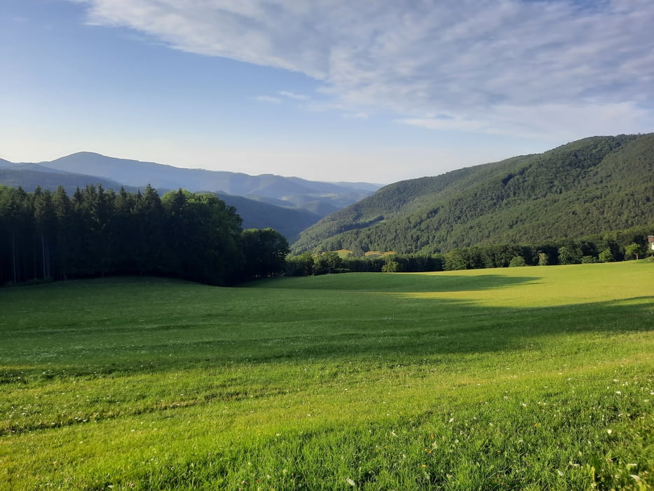
Start der Tour ist in Enzesfeld.

Die Strecke verläuft über den Triestingtal Radweg durch St.Veit, Berndorf und Pottenstein nach Weißenbach.

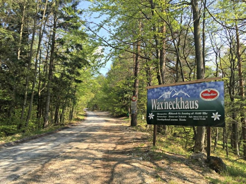
Ab Weißenbach auf der "Steinwandklammstrecke" (entgegengesetzte Fahrtrichtung) über den Jagasitz und den Hals zum Waxeneck Schutzhaus.

Vom Waxeneck bergab nach Berndorf, und über den Radweg zurück nach Enzesfeld.

Further information at

https://www.schutzhauswaxeneck.com/

Tour gallery

Tour map and elevation profile

  • Open Street Map
  • Google
Minimum height 286 m Maximum height 791 m Detailed view

More about the tour author

kersti
Member since 2012

Send private message

Comments

GPS tracks

Trackpoints
  • GPX / Garmin Map Source (gpx) download
  • TCX / Garmin Training Center® (tcx) download
  • CRS / Garmin Training Center® (crs) download
  • Google Earth (kml) download
  • G7ToWin (g7t) download
  • TTQV (trk) download
  • Overlay (ovl) download
  • Fugawi (txt) download
  • Kompass (DAV) Track (tk) download
  • Track data sheet (pdf) download
  • Original file of the author (gpx) download

More about the tour author

kersti
Member since 2012

Send private message
Share track
Add to my favorites
Remove from my favorites
Edit tags
My score
Rate
Track: Enzesfeld - Waxeneck über Jagasitz
Type: Mountain bike
Distance: 49,4 km
Evaluated on:
Duration:
Day(s)
Hour(s)
Minute(s)
Score: Landscape Fun factor Fitness Technique