


Von Granitztal über Lamm nach St. Leonhard ständig bergauf. Hinunter nach Pustritz, zweite Querung der Bundesstraße und unter der Autobahn durch. Wieder steil bergauf auf Schotter und nach Langegg zurück ins und nach Granitztal. Eine wunderschöne Landschaft, wie eine alpine Toskana. Trotz E-Bike eine anstrengende Strecke, es gibt viele steile Teilstrecken.
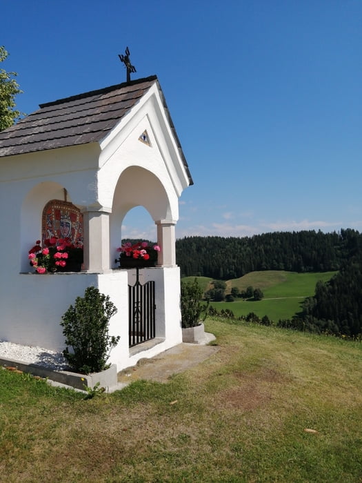
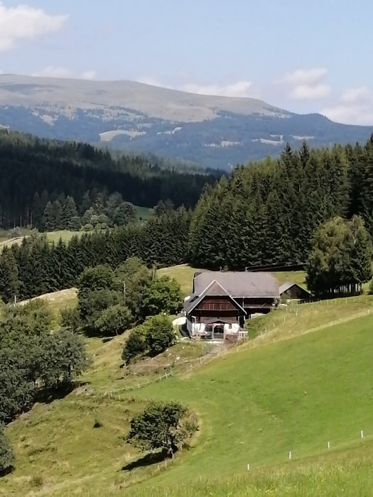
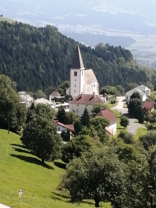
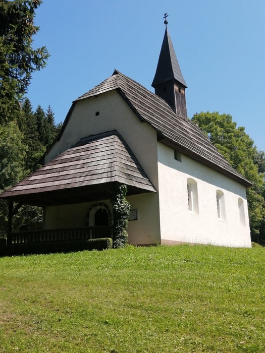
Tour gallery
Tour map and elevation profile
Minimum height 428 m
Maximum height 1208 m
More about the tour author
|
|
walderich |
Comments

Mit dem Auto von Klagenfurt auf der Autobahn bis Griffen, dann Richtung Ruden und abzweigen über die Grutschen nach und ins Granitztal.
Mit der Bahn bis St. Paul im Lavanttal, von dort ins Granitztal.
GPS tracks
Trackpoints-
GPX / Garmin Map Source (gpx) download
-
TCX / Garmin Training Center® (tcx) download
-
CRS / Garmin Training Center® (crs) download
-
Google Earth (kml) download
-
G7ToWin (g7t) download
-
TTQV (trk) download
-
Overlay (ovl) download
-
Fugawi (txt) download
-
Kompass (DAV) Track (tk) download
-
Track data sheet (pdf) download
-
Original file of the author (gpx) download
More about the tour author
|
|
walderich |
Add to my favorites
Remove from my favorites
Edit tags
Open track
My score
Rate