


Die Wanderung gehört zu den Top-Wanderungen vom Ferienland Donau-Ries. Die detaillierte Wegbeschreibung kann man hier nachlesen:
https://www.ferienland-donau-ries.de/wege/roeglinger_nadlerrundweg-2228/
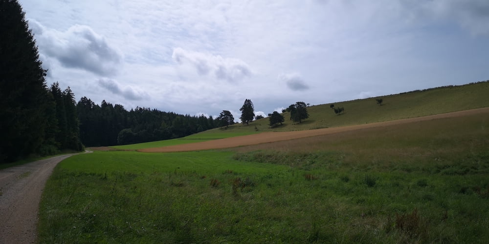
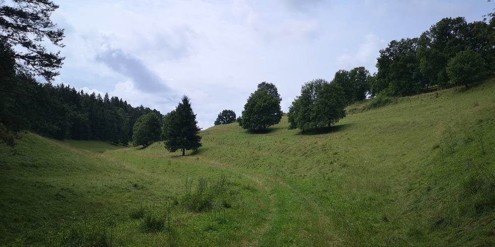
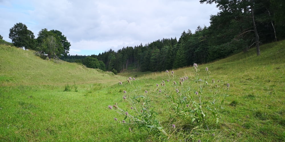
Die Wanderung ist sehr gut ausgeschildert. Sehr ruhige Wanderung in der Natur. Man ist quasi fast alleine. Sehr schön sind die Trockenrasenhänge.
Tour gallery
Tour map and elevation profile
Minimum height 464 m
Maximum height 563 m
More about the tour author
|
|
JoachimDief |
Comments

Nach Rögling fahren zum Brunnen im Ortskern. Da dann das Auto parken und die Wanderung beginnen.
GPS tracks
Trackpoints-
GPX / Garmin Map Source (gpx) download
-
TCX / Garmin Training Center® (tcx) download
-
CRS / Garmin Training Center® (crs) download
-
Google Earth (kml) download
-
G7ToWin (g7t) download
-
TTQV (trk) download
-
Overlay (ovl) download
-
Fugawi (txt) download
-
Kompass (DAV) Track (tk) download
-
Track data sheet (pdf) download
-
Original file of the author (gpx) download
More about the tour author
|
|
JoachimDief |
Add to my favorites
Remove from my favorites
Edit tags
Open track
My score
Rate