Login

Forgot your login?

Cookies have to be accepted!
Your browser's cookie functionality is disabled. Please enable this functionality.

Not a member yet?

Register now
Login

Available for registred users only

Log in to use this feature.

Forgot your login?

Cookies have to be accepted!
Your browser's cookie functionality is disabled. Please enable this functionality.

Not a member yet?

Register now
Filter
Categories
Advanced filters
  • Distance (km)
  • Height
Save filters Reset filter

TrackRank

QRCode

Technical data

Distance40,6 km Height1538 m Way down1477 m Duration04:33 h:m Date11.08.2021
Scores Author Landscape Fun factor Fitness Technique

Statistics

165 Views Scores 14 Downloads Average
Rate
  • Track data sheet
  • Directions
  • Downloads

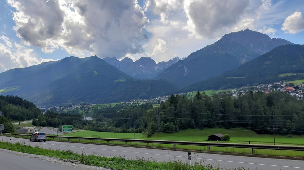
IBK-Kreither Alm-Telfes-Telfer Wiesen-Stefansbrücke-Natters-IBK

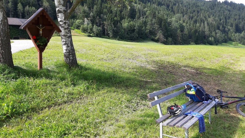
Zur Kreither Alm über die Rodelroute. Runter ins Stubaital haben mich die Forstarbeiter 2 x auf einen singletrail geschickt. Cool, großteils fahrbar.

Tour gallery

Tour map and elevation profile

  • Open Street Map
  • Google
Minimum height 584 m Maximum height 1656 m Detailed view

More about the tour author

mitter
Member since 2008

Send private message

Comments

Start und Ziel in Innsbruck Wilten.

GPS tracks

Trackpoints
  • GPX / Garmin Map Source (gpx) download
  • TCX / Garmin Training Center® (tcx) download
  • CRS / Garmin Training Center® (crs) download
  • Google Earth (kml) download
  • G7ToWin (g7t) download
  • TTQV (trk) download
  • Overlay (ovl) download
  • Fugawi (txt) download
  • Kompass (DAV) Track (tk) download
  • Track data sheet (pdf) download
  • Original file of the author (gpx) download

More about the tour author

mitter
Member since 2008

Send private message
Share track
Add to my favorites
Remove from my favorites
Edit tags
My score
Rate
Track: Kreither Alm-Telfer Wiesen 210810
Type: Mountain bike
Distance: 40,6 km
Evaluated on:
Duration:
Day(s)
Hour(s)
Minute(s)
Score: Landscape Fun factor Fitness Technique