


Spalt ist eine sehenswerte Ortschaft mit langer Biertradition. So gibt es hier ein Museum das sich mit der Hopfen- und Bierkultur beschäftigt. Von den ehemals 12 Brauereien ist nur noch eine übrig geblieben. Spalt hat noch viele alte Fachwerk- und Speicherhäuser.
Beim Museum gibt es einen kostenlosen Parkplatz. Ein Kinderspielplatz ist direkt vorhanden und in den Ort sind es wirklich nur wenige Minuten.
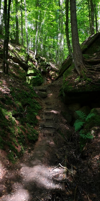
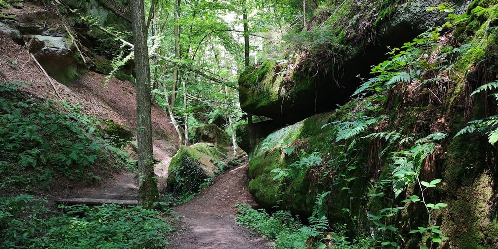
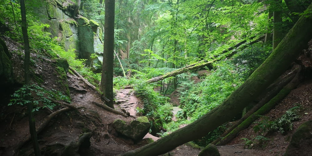
Es gibt aber auch noch Naturschönheiten bei Spalt. Diese Wanderung führt zu zwei die nicht weit voneinander entfernt sind. Es ist das Müllersloch und die Massendorfer Schlucht. Im grünen Wald hat sich das Wasser in den Sandstein gegraben und hat felsige Schluchten gebildet in denen ein feuchtes Klima herrscht. Wenn es geregnet hat können die teils steilen Pfade dann auch mal rutschig sein.
Tour gallery

Tour map and elevation profile
Minimum height 104 m
Maximum height 527 m
More about the tour author
|
|
JoachimDief |
Comments

Großer (kostenloser) Parkplatz am Kornhausplatz in der Ortsmitte von Spalt. Hier ist auch das Museum für Hopfen- und Bierkultur.
GPS tracks
Trackpoints-
GPX / Garmin Map Source (gpx) download
-
TCX / Garmin Training Center® (tcx) download
-
CRS / Garmin Training Center® (crs) download
-
Google Earth (kml) download
-
G7ToWin (g7t) download
-
TTQV (trk) download
-
Overlay (ovl) download
-
Fugawi (txt) download
-
Kompass (DAV) Track (tk) download
-
Track data sheet (pdf) download
-
Original file of the author (gpx) download
More about the tour author
|
|
JoachimDief |
Add to my favorites
Remove from my favorites
Edit tags
Open track
My score
Rate