


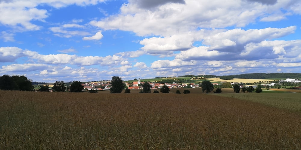
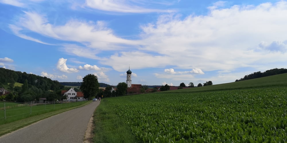
Es geht durch das schöne Kesseltal auf und ab auf Feld und Forstwegen mit ab und zu einem Trail bzw. naturnahen Pfad.
Die Tour besteht zum Teil aus Elementen von Wanderungen vom Ferienland Donau-Ries wie
-
Eisbrunn Rundweg
-
Hügelwanderung im Kesseltal
-
Weiherweg
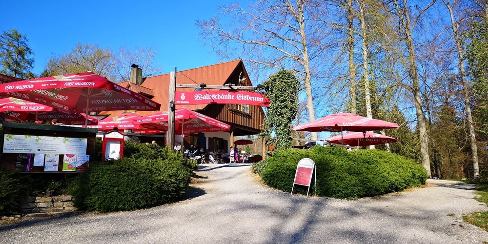
Bei Eisbrunn besteht die Möglichkeit zur Einkehr in die Waldschänke. Nicht zu vergessen auch der Biergarten vom Maikäfer in Bogenhofen.
Tour gallery

Tour map and elevation profile
Minimum height 424 m
Maximum height 589 m
More about the tour author
|
|
JoachimDief |
Comments

Nach Bissingen zum Friedhof fahren. Da gibt es einen Parkplatz mit meist freien Plätzen.
GPS tracks
Trackpoints-
GPX / Garmin Map Source (gpx) download
-
TCX / Garmin Training Center® (tcx) download
-
CRS / Garmin Training Center® (crs) download
-
Google Earth (kml) download
-
G7ToWin (g7t) download
-
TTQV (trk) download
-
Overlay (ovl) download
-
Fugawi (txt) download
-
Kompass (DAV) Track (tk) download
-
Track data sheet (pdf) download
-
Original file of the author (gpx) download
More about the tour author
|
|
JoachimDief |
Add to my favorites
Remove from my favorites
Edit tags
Open track
My score
Rate