


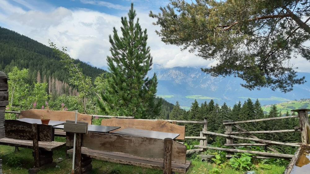
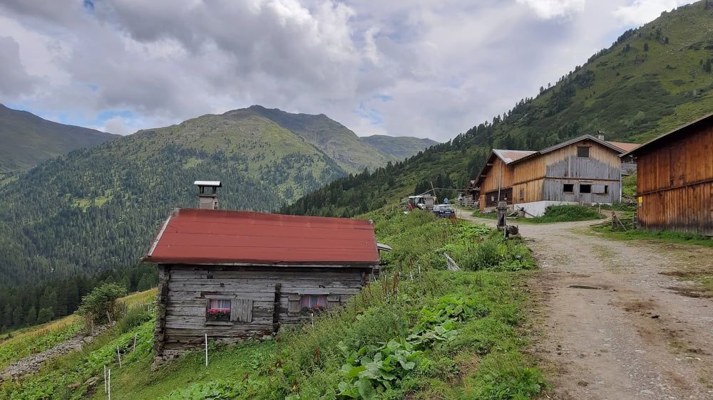
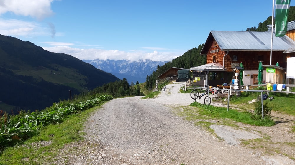
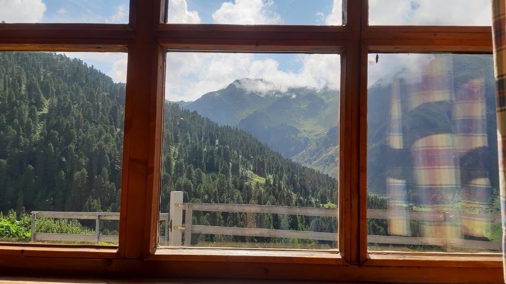
Den Inntalradweg entlang nach Kolsass. Von da gehts zunächst auf Asphalt relativ steil rauf nach Kolsassberg. Weiter auf der Weertalrunde. Von Waldarbeitern werde ich dann umgeleitet und komme so bei der nicht bewirtschafteten Studlalm vorbei. Oberhalb davon genieße ich dann den freien Blick auf die umliegenden Berge und ins Inntal. Dann weiter auf gutem Schotter zur Tagetlahnalm (privat). Von da fast 330 hm runter zum Weerbach und dann noch knapp 400 hm zur Weidener Hütte. Gut eingekehrt. Retour wieder auf der Weertalrunde, diesmal komme ich bei den Waldarbeitern locker vorbei. Über Gartlach nach Wattens und da nehme ich dann wieder den Inntalradweg.
Tour gallery
Tour map and elevation profile
Minimum height 554 m
Maximum height 1800 m
More about the tour author
|
|
mitter |
Comments

Start in IBK Wilten.
GPS tracks
Trackpoints-
GPX / Garmin Map Source (gpx) download
-
TCX / Garmin Training Center® (tcx) download
-
CRS / Garmin Training Center® (crs) download
-
Google Earth (kml) download
-
G7ToWin (g7t) download
-
TTQV (trk) download
-
Overlay (ovl) download
-
Fugawi (txt) download
-
Kompass (DAV) Track (tk) download
-
Track data sheet (pdf) download
-
Original file of the author (gpx) download
More about the tour author
|
|
mitter |
Add to my favorites
Remove from my favorites
Edit tags
Open track
My score
Rate