


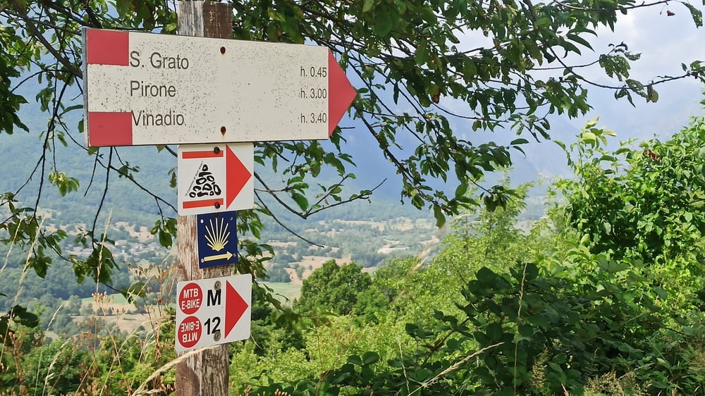
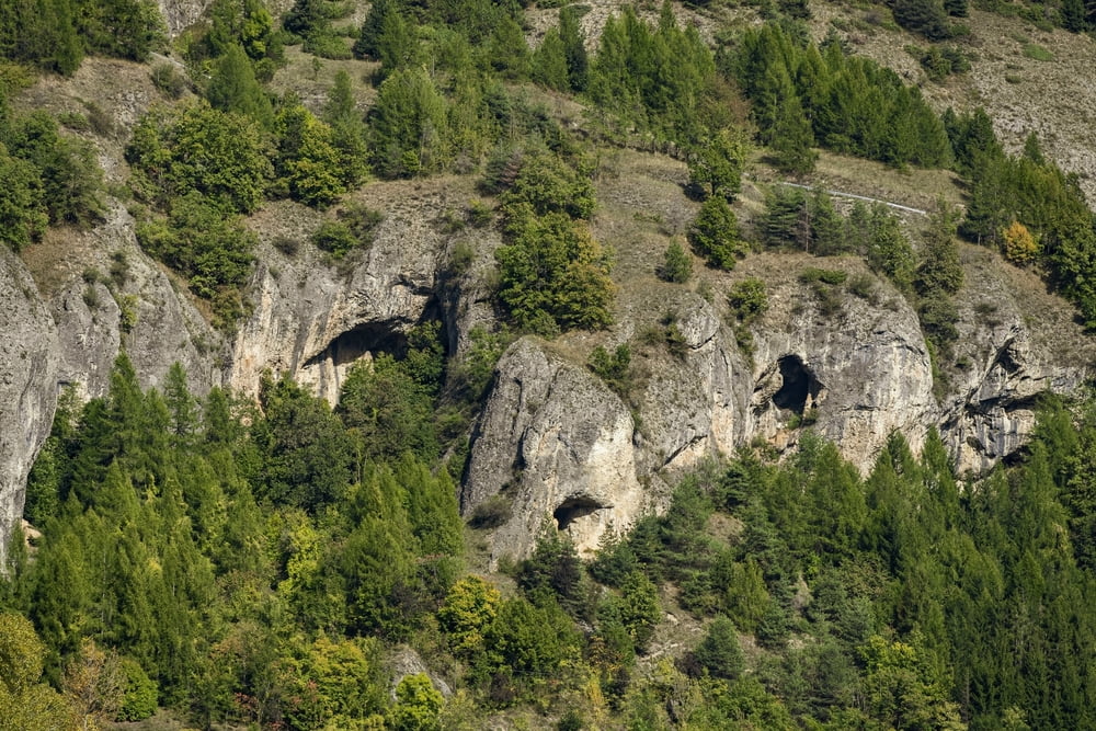
Da Demonte si sale su sentiero verso la Cappella della Madonna del Pino (raggiungibile con una breve deviazione). Si prosegue su un sentiero a mezzacosta che lentamente perde quota fino alla Frazione San Grato. Attraverso gli ampi prati si giunge ad Aisone, entrando fra le storiche vie fino alla piazza principale. Attraversando il paese si imbocca la prima parte del sentiero delle Grotte per salire fino alla borgata di Pirone. Inizia qui uno spettacolare traverso su pareti a tratti verticali ma sempre sicure, fino a raggiungere la frazione Castellar delle Vigne. Si scende gradualmente su asfalto fino a Vinadio, dove termina la tappa. Per ulteriori informazioni consultare http://www.visitstura.it/sport-e-natura/il-cammino-di-santanna/le-tappe/ .
Further information at
http://www.visitstura.it/sport-e-natura/il-cammino-di-santanna/le-tappe/Tour gallery
Tour map and elevation profile
Minimum height 784 m
Maximum height 1103 m
More about the tour author

|
Valle-Stura |
Comments

GPS tracks
Trackpoints-
GPX / Garmin Map Source (gpx) download
-
TCX / Garmin Training Center® (tcx) download
-
CRS / Garmin Training Center® (crs) download
-
Google Earth (kml) download
-
G7ToWin (g7t) download
-
TTQV (trk) download
-
Overlay (ovl) download
-
Fugawi (txt) download
-
Kompass (DAV) Track (tk) download
-
Track data sheet (pdf) download
-
Original file of the author (gpx) download
More about the tour author
|
|
Valle-Stura |
Add to my favorites
Remove from my favorites
Edit tags
Open track
My score
Rate