


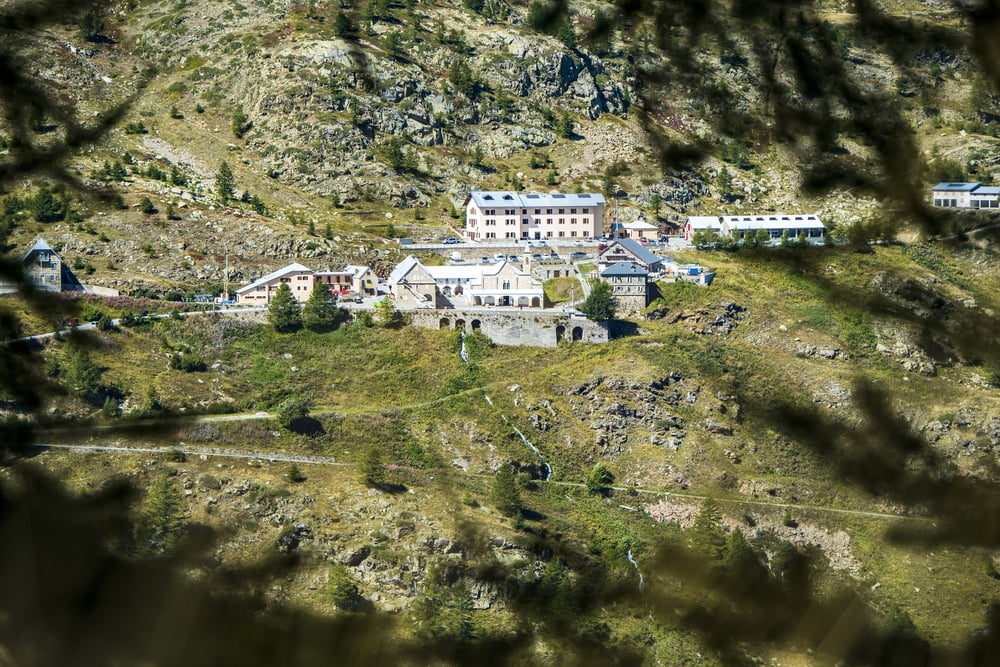
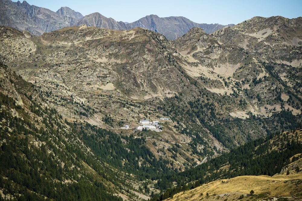
La quarta ed ultima tappa del Cammino di Sant'Anna rappresenta la vera salita verso il Santuario. Si parte da Vinadio, si cammina verso il lago del Forte e, attraversando il fiume Stura di Demonte si raggiunge la frazione di Pratolungo. Poco oltre, inizia la salita verso il Santuario che percorre fedelmente il tracciato storico che coincide con la via percorsa storicamente dai pellegrini. Si guadagna quota in modo costante fino al grande pianoro glaciale, dal quale si inizia a vedere la meta; dopo averlo attraversato si inizia così la salita conclusiva fino alla meta. Per ulteriori informazioni consultare http://www.visitstura.it/sport-e-natura/il-cammino-di-santanna/le-tappe/ .
Further information at
http://www.visitstura.it/sport-e-natura/il-cammino-di-santanna/le-tappe/Tour gallery
Tour map and elevation profile
Minimum height 857 m
Maximum height 2013 m
More about the tour author

|
Valle-Stura |
Comments

GPS tracks
Trackpoints-
GPX / Garmin Map Source (gpx) download
-
TCX / Garmin Training Center® (tcx) download
-
CRS / Garmin Training Center® (crs) download
-
Google Earth (kml) download
-
G7ToWin (g7t) download
-
TTQV (trk) download
-
Overlay (ovl) download
-
Fugawi (txt) download
-
Kompass (DAV) Track (tk) download
-
Track data sheet (pdf) download
-
Original file of the author (gpx) download
More about the tour author
|
|
Valle-Stura |
Add to my favorites
Remove from my favorites
Edit tags
Open track
My score
Rate