Login

Forgot your login?

Cookies have to be accepted!
Your browser's cookie functionality is disabled. Please enable this functionality.

Not a member yet?

Register now
Login

Available for registred users only

Log in to use this feature.

Forgot your login?

Cookies have to be accepted!
Your browser's cookie functionality is disabled. Please enable this functionality.

Not a member yet?

Register now
Filter
Categories
Advanced filters
  • Distance (km)
  • Height
Save filters Reset filter

TrackRank

QRCode

Technical data

Distance70,8 km Height2567 m Way down1101 m Duration00:00 h:m Date16.09.2021
Scores Author Landscape Fun factor Fitness Technique

Statistics

58 Views Scores 6 Downloads Average
Rate
  • Track data sheet
  • Directions
  • Downloads
Il percorso si sviluppa solo in parte sull'itinerario a piedi, andando a evitare i tratti non ciclabili. Il percorso non è segnalato con cartelli ed è perciò fondamentale l'utilizzo della traccia gps. Il fondo è misto asfaltato o sterrato semplice, alcuni sono sentieri ma con fondo compatto e regolare.

Further information at

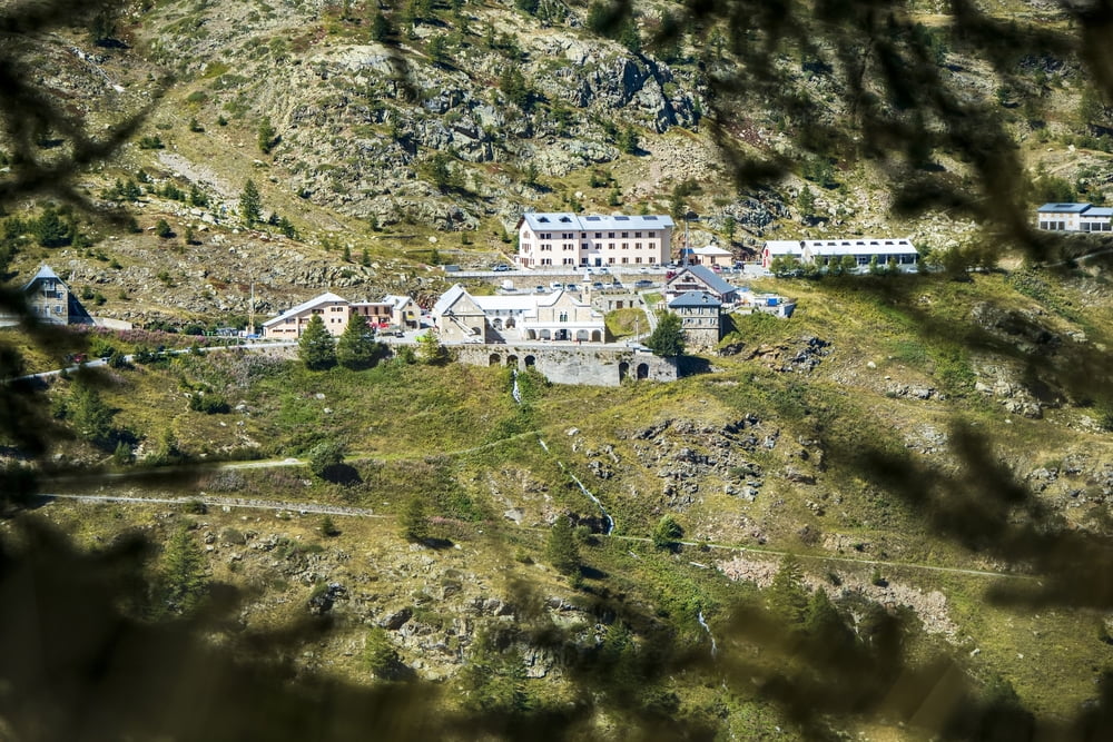
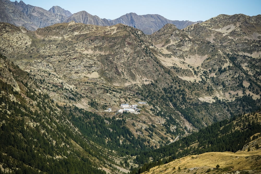
http://www.visitstura.it/sport-e-natura/il-cammino-di-santanna/le-tappe/

Tour gallery

Tour map and elevation profile

  • Open Street Map
  • Google
Minimum height 508 m Maximum height 2013 m Detailed view

More about the tour author

Valle-Stura
Member since 2021

Send private message

Comments

GPS tracks

Trackpoints
  • GPX / Garmin Map Source (gpx) download
  • TCX / Garmin Training Center® (tcx) download
  • CRS / Garmin Training Center® (crs) download
  • Google Earth (kml) download
  • G7ToWin (g7t) download
  • TTQV (trk) download
  • Overlay (ovl) download
  • Fugawi (txt) download
  • Kompass (DAV) Track (tk) download
  • Track data sheet (pdf) download
  • Original file of the author (gpx) download

More about the tour author

Valle-Stura
Member since 2021

Send private message
Share track
Add to my favorites
Remove from my favorites
Edit tags
My score
Rate
Track: Il Cammino di Sant'Anna - MTB
Type: Mountain bike
Distance: 70,8 km
Evaluated on:
Duration:
Day(s)
Hour(s)
Minute(s)
Score: Landscape Fun factor Fitness Technique