


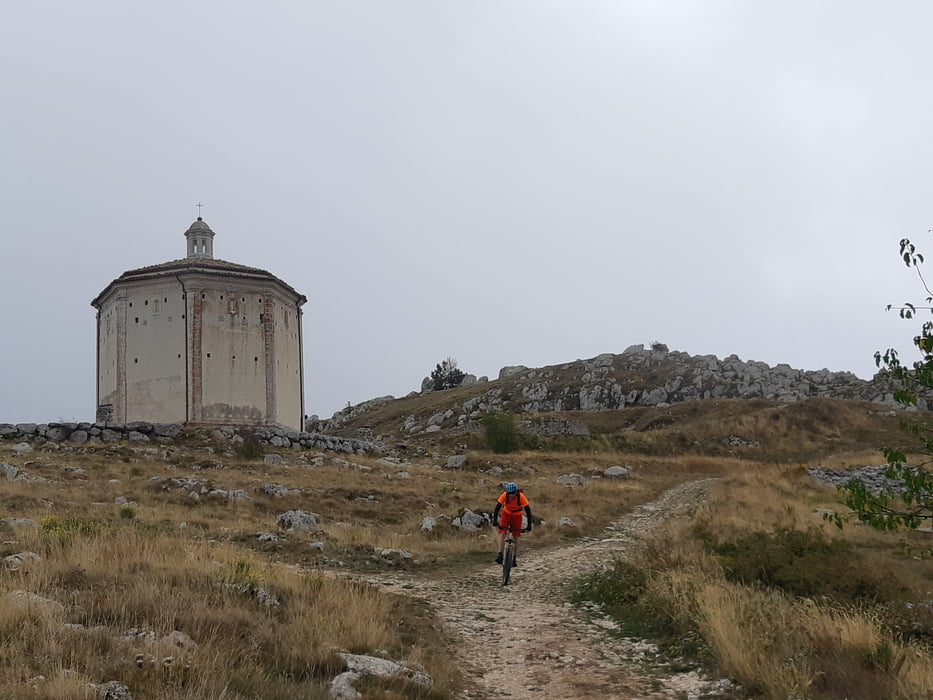
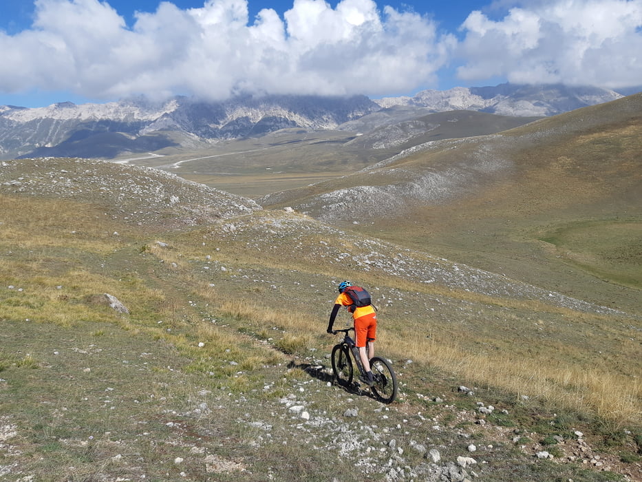
Direkt vom Parkplatz startet der erste Downhill (S 2), um anschließend zum bekanntesten Fotomotiv der Abruzzen, die Burg Rocca Calascio, zu fahren. Wir nehmen noch den nächsten Grasgipfel mit, damit wir auf dem Bergrücken bleiben können. Bei St. Stefano eine kurze Pause, bevor es die angenehme Paßstraße zum Campo Imperatore geht. Auf der Paßhöhe verlassen wir die Straße und ab dort geht es über Trails bis nach Castel del Monte (S 1 bis S 3).
Tour gallery
Tour map and elevation profile
Minimum height 1087 m
Maximum height 1702 m
More about the tour author

|
Klaus112 |
Comments

Von der Autobahn Rom - Temaro bei LÁquila abfahren und die sehr schöne Strecke über St. Stefano nach Castel del Monte.
Wir parken beim Albergo Parco Gran Sasso, es gibt zahlreiche weiter kostenfreie Parkplätze.
GPS tracks
Trackpoints-
GPX / Garmin Map Source (gpx) download
-
TCX / Garmin Training Center® (tcx) download
-
CRS / Garmin Training Center® (crs) download
-
Google Earth (kml) download
-
G7ToWin (g7t) download
-
TTQV (trk) download
-
Overlay (ovl) download
-
Fugawi (txt) download
-
Kompass (DAV) Track (tk) download
-
Track data sheet (pdf) download
-
Original file of the author (gpx) download
More about the tour author
|
|
Klaus112 |
Add to my favorites
Remove from my favorites
Edit tags
Open track
My score
Rate