


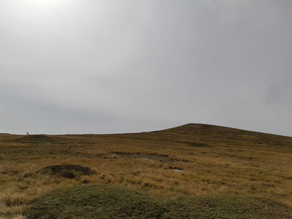
Anfangs ein Karrenweg, ab der Hälfte ein schöner Trail nach Osione. Nun einige km eine angenehme Asphaltstraße, die wir nach rechts verlassen, um auf dem Kamm zu kommen. Nun kann jeder entscheiden, ob man direkt abfährt oder noch den Aussichtsgipfel des Monte Cappucciota mitnimmt. Nach der schönen Abfahrt und der Querung der großen Wiese geht es auf einen Karrenweg. Über diesen in etwas Auf-und-Ab bis zum Campo Imperatore und von dort zurück nach Castel del Monte.
Tour gallery
Tour map and elevation profile
Minimum height 550 m
Maximum height 1796 m
More about the tour author

|
Klaus112 |
Comments

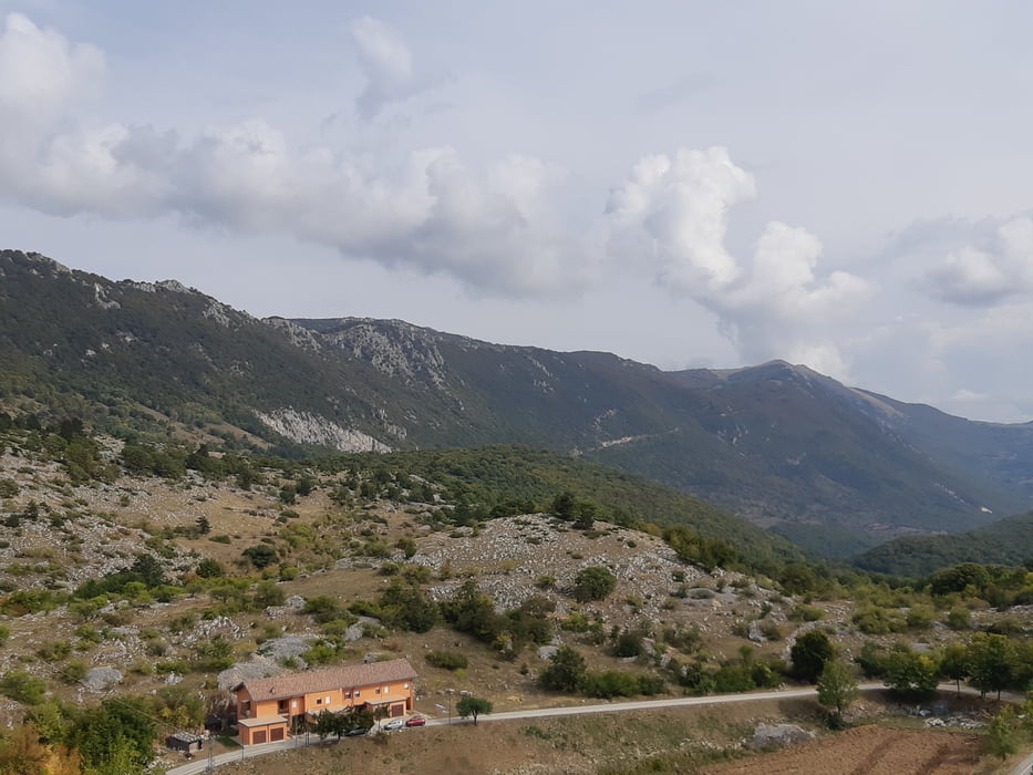
Von der Autobahn Rom - Temaro bei LÁquila abfahren und die sehr schöne Strecke über St. Stefano nach Castel del Monte.
Wir parken beim Albergo Parco Gran Sasso, es gibt zahlreiche weiter kostenfreie Parkplätze.
GPS tracks
Trackpoints-
GPX / Garmin Map Source (gpx) download
-
TCX / Garmin Training Center® (tcx) download
-
CRS / Garmin Training Center® (crs) download
-
Google Earth (kml) download
-
G7ToWin (g7t) download
-
TTQV (trk) download
-
Overlay (ovl) download
-
Fugawi (txt) download
-
Kompass (DAV) Track (tk) download
-
Track data sheet (pdf) download
-
Original file of the author (gpx) download
More about the tour author
|
|
Klaus112 |
Add to my favorites
Remove from my favorites
Edit tags
Open track
My score
Rate