

- Rundkurs im Uhrzeigersinn
- Start/Ziel: Alberese/Centro Visitatori Parco Regionale Maremma.
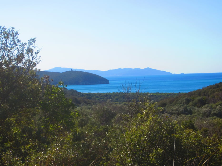
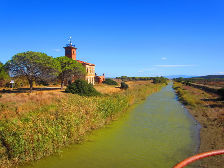
- Auf der Strada degli Ulivi(Asfalt), angenehme Steigungen bis zum Strand unterhalb des Wehrturmes Collelungo KM 7.
- Weiter auf dem Waldweg Pianestrellaia durch den Pinienwald bis KM 10,4
- KM 10,4 Bar, Restaurant, WC. usw. (Punto die ristoro "La Viola) Marina Alberese.
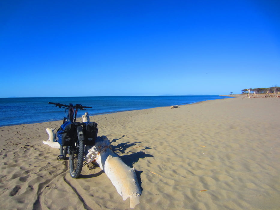
- Weiter auf Schotter, am Strand entlang bis zur Vogel Beobachtungsstelle KM 14.
- Zurück auf asfaltiertem Waldweg, bzw. asfaltiertem Radweg bis zum Ausgangspunkt.
- Diese Tour kann auch mit einem Treckingbike gefahren werden.
PS. Im Centro Parco Regionale Maremma muss das Tagesticket gekauft werden, ansonsten 100€ Bussgeld. Kann auch online erworben werden.
- Parkplatz neben dem Centro del Parco.
- Camper Park Alberese gleich nebenan. Sehr saubere Duschen und WC. 24 Stunden geöffnet.
Tour gallery

Tour map and elevation profile
Minimum height -8 m
Maximum height 85 m
More about the tour author
|
|
MargesinFriedrich |
Comments

GPS tracks
Trackpoints-
GPX / Garmin Map Source (gpx) download
-
TCX / Garmin Training Center® (tcx) download
-
CRS / Garmin Training Center® (crs) download
-
Google Earth (kml) download
-
G7ToWin (g7t) download
-
TTQV (trk) download
-
Overlay (ovl) download
-
Fugawi (txt) download
-
Kompass (DAV) Track (tk) download
-
Track data sheet (pdf) download
-
Original file of the author (gpx) download
More about the tour author
|
|
MargesinFriedrich |
Add to my favorites
Remove from my favorites
Edit tags
Open track
My score
Rate