


Weidenpesch – Riehl Rundweg
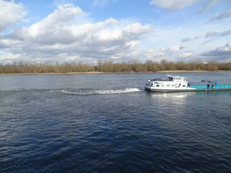
Unsere Wanderung beginnt an einer zentralen Stelle der Adenauerschen Wirtschafts- und Industriepolitik. Wir starten am Südrand der Fabrikanlagen des Autoherstellers Ford. Nahebei sind auch die Überreste eines weiteren einstnals wichtigen Unternehmens in Deutschland – nämlich die des Unternehmens Glanzstoff. Weiter geht es durch das Gelände der Bezirksportanlage Weidenpesch und vorbei am Skaterpark und der Feuerwache Weidenpesch. Das Besuchergelände der Kölner Galopprennbahn wird gequert, bevor wir durch den Toni-Steingass Park und im Johannes-Giesberts-Park am Clouth-Quartier vorbei zum Botanischen Garten und zur Flora wandern. Durch den Skulpturenpark in Riehl geht es zum Rhein und dann nordwärts am Rheinufer entlang und über den Weg „Am Molenkopf“ zum Niehler Hafen. Nach Überquerung der Hafeneinfahrt führt die Route rheinunfernah mit attraktiven Aussichten zum Start- und Zielpunkt.
Tour gallery


Tour map and elevation profile
Minimum height 33 m
Maximum height 53 m
More about the tour author

|
nc-drbefranetcologne |
Comments

Start/Ziel: Niehl Nord, Hast von KVB-Linie 12 und Bus 147
GPS tracks
Trackpoints-
GPX / Garmin Map Source (gpx) download
-
TCX / Garmin Training Center® (tcx) download
-
CRS / Garmin Training Center® (crs) download
-
Google Earth (kml) download
-
G7ToWin (g7t) download
-
TTQV (trk) download
-
Overlay (ovl) download
-
Fugawi (txt) download
-
Kompass (DAV) Track (tk) download
-
Track data sheet (pdf) download
-
Original file of the author (gpx) download
More about the tour author
|
|
nc-drbefranetcologne |
Add to my favorites
Remove from my favorites
Edit tags
Open track
My score
Rate