


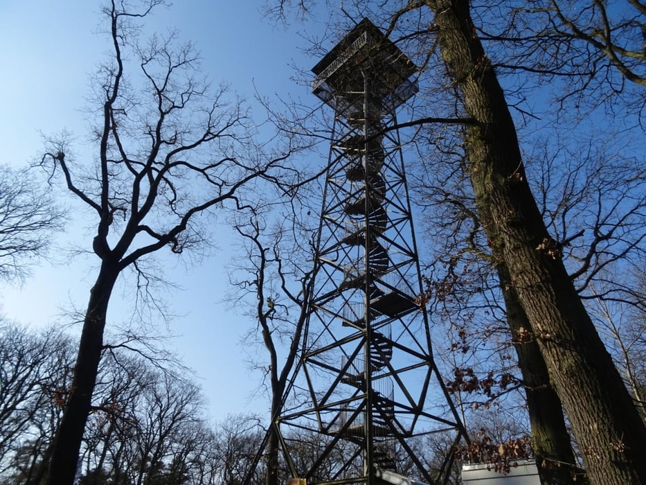
Vom Bahnhof in Hofheim den Kapellenberg hinauf zum Cohausentempel, weiter zur Bergkapelle und dann zum Meisterturm. Nach dem Besteigen des Turmes weiter am Restaurant Gundelhard vorbei nach Kelkheim. In Kelkheim die Innenstadt durchqueren und dann zum Kloster und der Pfarrkiirche St. Franziskus. Danach durch den Golfplatz hindurch zurück nach Hofheim (Ts). Dort eine längere Pause am Wasserschloss und in der Altstadt.
Further information at
https://sonntagswandern.de/hofheim-ts-kapellenberg-kelkheim-runde-13-februar-2022/Tour gallery
Tour map and elevation profile
Minimum height 140 m
Maximum height 349 m
More about the tour author

|
Sonntagswanderin |
Comments

Anreise mit RegioBahn oder S-Bahn zum Bahnof in Hofhein (Ts)
GPS tracks
Trackpoints-
GPX / Garmin Map Source (gpx) download
-
TCX / Garmin Training Center® (tcx) download
-
CRS / Garmin Training Center® (crs) download
-
Google Earth (kml) download
-
G7ToWin (g7t) download
-
TTQV (trk) download
-
Overlay (ovl) download
-
Fugawi (txt) download
-
Kompass (DAV) Track (tk) download
-
Track data sheet (pdf) download
-
Original file of the author (gpx) download
More about the tour author
|
|
Sonntagswanderin |
Add to my favorites
Remove from my favorites
Edit tags
Open track
My score
Rate