Login

Forgotten password?

Cookies have to be accepted!
Your browser's cookie functionality is disabled. Please enable this functionality.

Not a member yet?

Register now
Login

Available for registred users only

Log in to use this feature.

Forgotten password?

Cookies have to be accepted!
Your browser's cookie functionality is disabled. Please enable this functionality.

Not a member yet?

Register now
Filter
Categories
Advanced filters
  • Distance (km)
  • Height
Save filters Reset filter

TrackRank

QRCode

Technical data

Distance6,7 km Height57 m Way down57 m Duration01:30 h:m Date28.02.2022
Scores Author Landscape Fun factor Fitness Technique

Statistics

182 Views Scores 1 Download Average
Rate
  • Track data sheet
  • Directions
  • Downloads

Leichte Rundwanderung an der Isar von Oberpöring nach Ettling.

Hinweise: Leichte Wandertour.

Start/Ziel: Parkplatz beim Sportplatz in Oberpöring

Markierung: keine

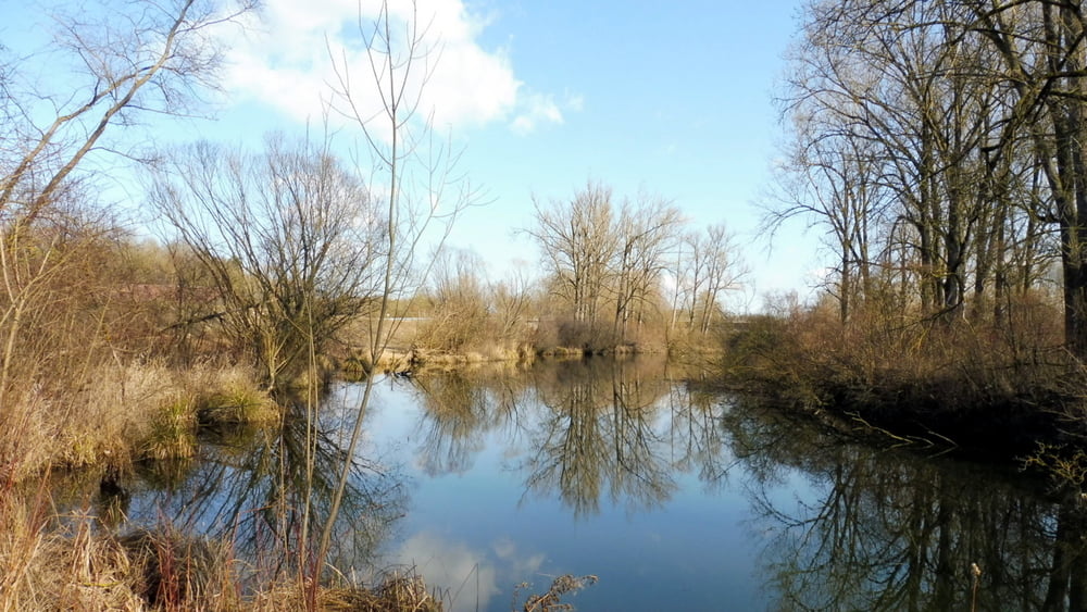
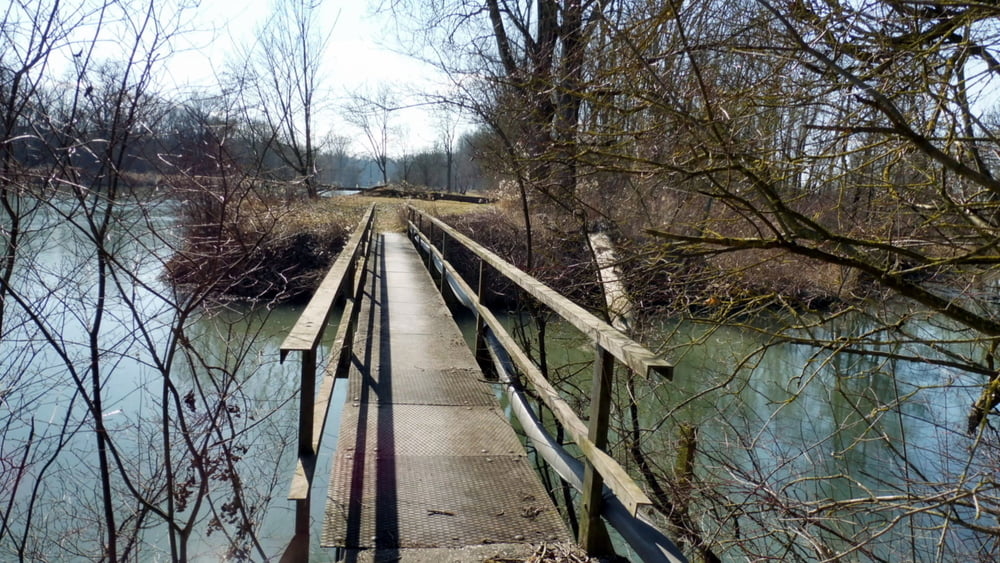
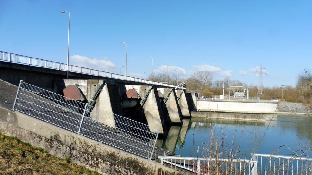
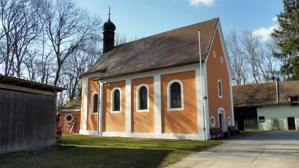
Route: Parkplatz beim Sportplatz in Oberpöring – Staustufe Ettling – Ettling – Wallfahrtskirche Maria Bürg – Oberpöring – Parkplatz beim Sportplatz in Oberpöring

Einkehrmöglichkeit: keine

POI: Staustufe Ettling, Wallfahrtskirche Maria Bürg


Tour gallery

Tour map and elevation profile

  • Open Street Map
  • Google
Minimum height 327 m Maximum height 359 m Detailed view

More about the tour author

ejee
Member since 2019

Send private message

Comments

GPS tracks

Trackpoints
  • GPX / Garmin Map Source (gpx) download
  • TCX / Garmin Training Center® (tcx) download
  • CRS / Garmin Training Center® (crs) download
  • Google Earth (kml) download
  • G7ToWin (g7t) download
  • TTQV (trk) download
  • Overlay (ovl) download
  • Fugawi (txt) download
  • Kompass (DAV) Track (tk) download
  • Track data sheet (pdf) download
  • Original file of the author (gpx) download

More about the tour author

ejee
Member since 2019

Send private message
Share track
Add to my favorites
Remove from my favorites
Edit tags
My score
Rate
Track: Die Isar - Von Oberpöring nach Ettling
Type: Hiking
Distance: 6,7 km
Evaluated on:
Duration:
Day(s)
Hour(s)
Minute(s)
Score: Landscape Fun factor Fitness Technique