Login

Forgot your login?

Cookies have to be accepted!
Your browser's cookie functionality is disabled. Please enable this functionality.

Not a member yet?

Register now
Login

Available for registred users only

Log in to use this feature.

Forgot your login?

Cookies have to be accepted!
Your browser's cookie functionality is disabled. Please enable this functionality.

Not a member yet?

Register now
Filter
Categories
Advanced filters
  • Distance (km)
  • Height
Save filters Reset filter

TrackRank

QRCode

Technical data

Distance11,9 km Height258 m Way down271 m Duration00:00 h:m Date28.02.2022
Scores Author Landscape Fun factor Fitness Technique

Statistics

199 Views Scores 2 Downloads Average
Rate
  • Track data sheet
  • Directions
  • Downloads

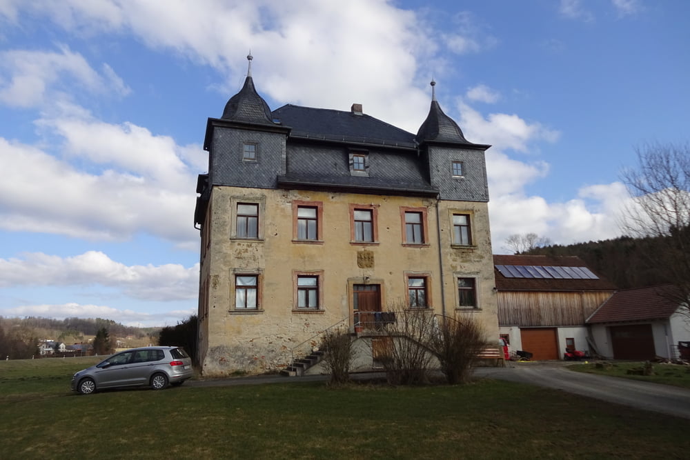
Schöne kurzweilige Runde!   

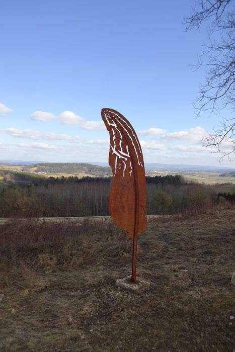
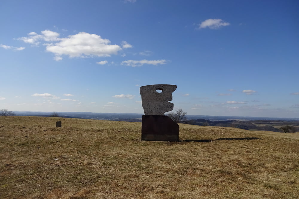
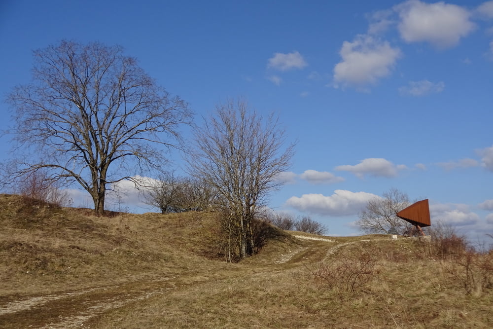
Höhepunkt: Neubürg auf 587müN mit einem traumhaften Rundumblickt! Und mehr als ein Dutzend Kunstwerke gibt es auf dem Berg noch gratis zu bestaunen.

Die Runde ist aus dem Rother Wanderführer: Fränkische Wanderberge Tour Nr.: 36 abgeleitet.


Viel Spaß!

Tour gallery

Tour map and elevation profile

  • Open Street Map
  • Google
Minimum height 359 m Maximum height 590 m Detailed view

More about the tour author

FLU
Member since 2009

Send private message

Comments

GPS tracks

Trackpoints
  • GPX / Garmin Map Source (gpx) download
  • TCX / Garmin Training Center® (tcx) download
  • CRS / Garmin Training Center® (crs) download
  • Google Earth (kml) download
  • G7ToWin (g7t) download
  • TTQV (trk) download
  • Overlay (ovl) download
  • Fugawi (txt) download
  • Kompass (DAV) Track (tk) download
  • Track data sheet (pdf) download
  • Original file of the author (gpx) download

More about the tour author

FLU
Member since 2009

Send private message
Share track
Add to my favorites
Remove from my favorites
Edit tags
My score
Rate
Track: Neubürg | Von Obernsees nach Wohnsgehaig
Type: Hiking
Distance: 11,9 km
Evaluated on:
Duration:
Day(s)
Hour(s)
Minute(s)
Score: Landscape Fun factor Fitness Technique