Login

Forgot your login?

Cookies have to be accepted!
Your browser's cookie functionality is disabled. Please enable this functionality.

Not a member yet?

Register now
Login

Available for registred users only

Log in to use this feature.

Forgot your login?

Cookies have to be accepted!
Your browser's cookie functionality is disabled. Please enable this functionality.

Not a member yet?

Register now
Filter
Categories
Advanced filters
  • Distance (km)
  • Height
Save filters Reset filter

TrackRank

QRCode

Technical data

Distance4,4 km Height0 m Way down0 m Duration1 day 15 h Date07.03.2021
Scores Author Landscape Fun factor Fitness Technique

Statistics

150 Views Scores 6 Downloads Average
Rate
  • Track data sheet
  • Directions
  • Downloads
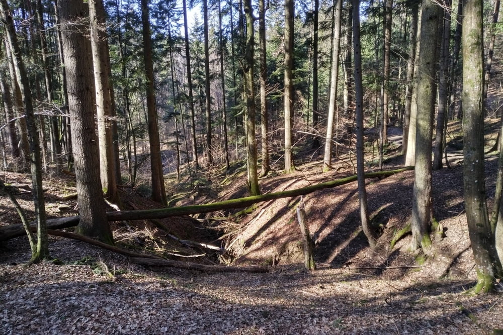
Einfache Spaziermöglichkeit im Südosten von Graz.
Runde lässt sich auch Verlängern oder in anderer Variante gehen.

Tour gallery

Tour map and elevation profile

  • Open Street Map
  • Google
Minimum height 99999 m Maximum height -99999 m Detailed view

More about the tour author

Flexman
Member since 2010

Send private message

Comments

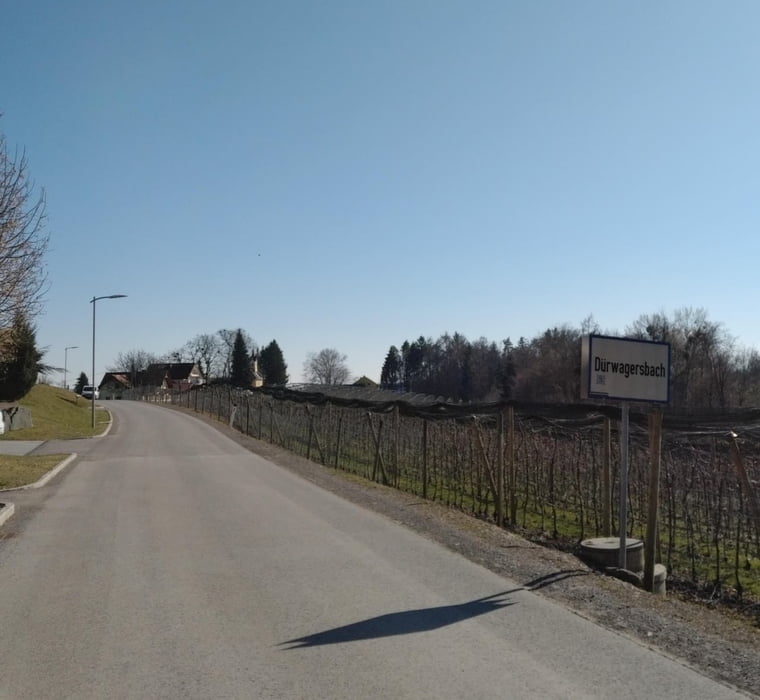
Buslinie 76U bis Gasthaus Hammerl.

Falls in der Gasse keine gute Parkmöglichkeit besteht, gibt es beim Kreisverkehr an der Tesla-Straße einen Parkplatz.

GPS tracks

Trackpoints
  • GPX / Garmin Map Source (gpx) download
  • TCX / Garmin Training Center® (tcx) download
  • CRS / Garmin Training Center® (crs) download
  • Google Earth (kml) download
  • G7ToWin (g7t) download
  • TTQV (trk) download
  • Overlay (ovl) download
  • Fugawi (txt) download
  • Kompass (DAV) Track (tk) download
  • Track data sheet (pdf) download
  • Original file of the author (gpx) download

More about the tour author

Flexman
Member since 2010

Send private message
Share track
Add to my favorites
Remove from my favorites
Edit tags
My score
Rate
Track: kleine Runde am Wolfsgraben
Type: Hiking
Distance: 4,4 km
Evaluated on:
Duration:
Day(s)
Hour(s)
Minute(s)
Score: Landscape Fun factor Fitness Technique