Login

Forgot your login?

Cookies have to be accepted!
Your browser's cookie functionality is disabled. Please enable this functionality.

Not a member yet?

Register now
Login

Available for registred users only

Log in to use this feature.

Forgot your login?

Cookies have to be accepted!
Your browser's cookie functionality is disabled. Please enable this functionality.

Not a member yet?

Register now
Filter
Categories
Advanced filters
  • Distance (km)
  • Height
Save filters Reset filter

TrackRank

QRCode

Technical data

Distance280,0 km Height7840 m Way down7358 m Duration4 days 0 h Date15.04.2022
Scores Author Landscape Fun factor Fitness Technique

Statistics

200 Views Scores 10 Downloads Average
Rate
  • Track data sheet
  • Directions
  • Downloads

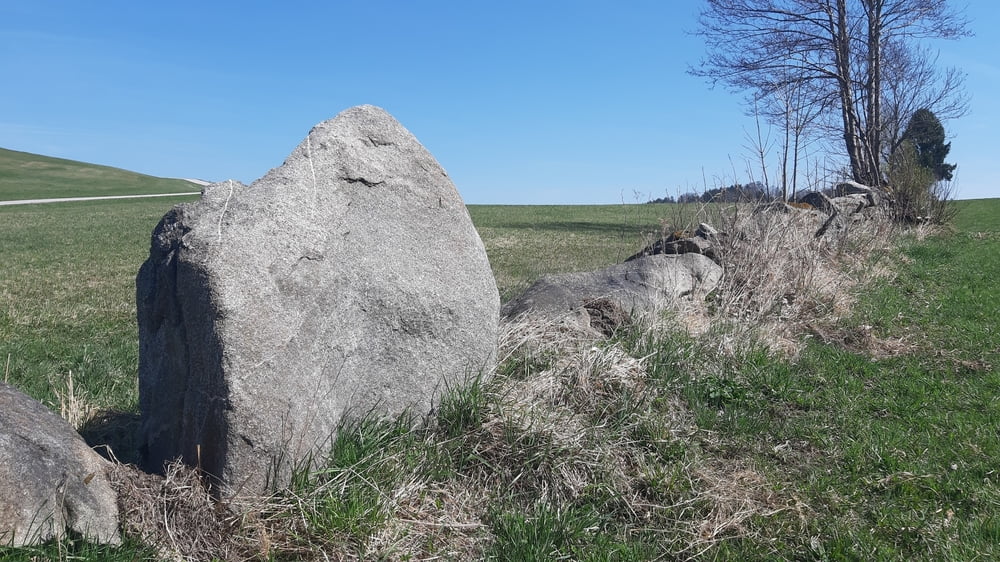
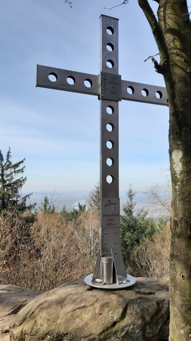
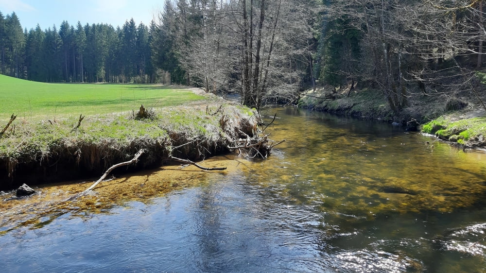
Die große Granitlandrunde von Linz aus. Bei fast idealen äußeren Bedingungen eine ideale Frühlingstour (höchster Punkt 941 m, Ameisberg) im malerischen Mühlviertel. Die Wegbeschaffenheit ist ein bunter Mix aus Feld-, Wald-, Wiesenwegen und kaum befahrenen Nebenstraßen. Immer wieder gibt es auch interessante trails und durchaus intensive Bergaufpassagen.

Problematisch gestaltete sich die Quartiersuche, ausgebucht oder im Urlaub oder schlicht nicht mehr im Betrieb. Da sollte man doch im Voraus buchen.

Meine Quartiere:

Gasthaus Zum Schiffmeister in Wesenufer. http://www.schiffmeister.at/

GH Kräutermandl in Sarleinsbach https://www.erlebnishof.at/startseite.html

GH Höller in St. Peter am Wimberg https://www.gh-hoeller.at/


Alles in allem eine schöne Tour am Beginn der Saison fernab von jeglichem touristischen und auch sonstigem Rummel. 

Tour gallery

Tour map and elevation profile

  • Open Street Map
  • Google
Minimum height 252 m Maximum height 943 m Detailed view

More about the tour author

mitter
Member since 2008

Send private message

Comments

Anfahrt mit dem Zug nach Linz.

GPS tracks

Trackpoints
  • GPX / Garmin Map Source (gpx) download
  • TCX / Garmin Training Center® (tcx) download
  • CRS / Garmin Training Center® (crs) download
  • Google Earth (kml) download
  • G7ToWin (g7t) download
  • TTQV (trk) download
  • Overlay (ovl) download
  • Fugawi (txt) download
  • Kompass (DAV) Track (tk) download
  • Track data sheet (pdf) download
  • Original file of the author (gpx) download

More about the tour author

mitter
Member since 2008

Send private message
Share track
Add to my favorites
Remove from my favorites
Edit tags
My score
Rate
Track: Granitlandrunde gesamt 220414
Type: Mountain bike
Distance: 280,0 km
Evaluated on:
Duration:
Day(s)
Hour(s)
Minute(s)
Score: Landscape Fun factor Fitness Technique