


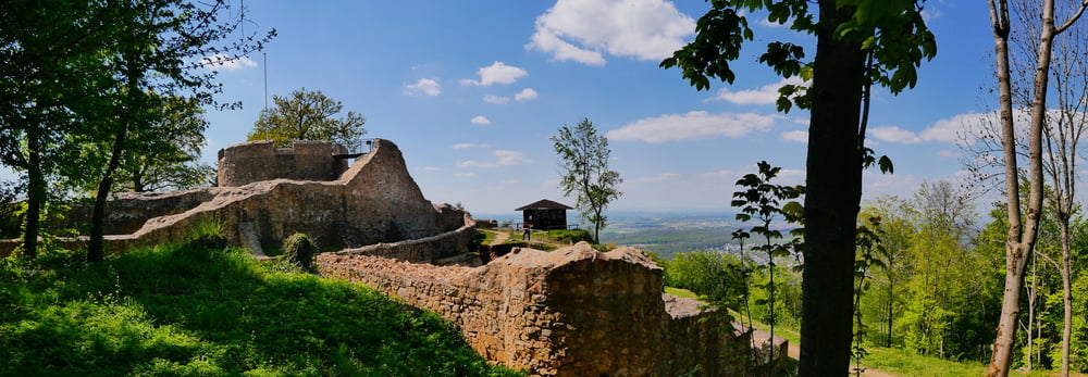
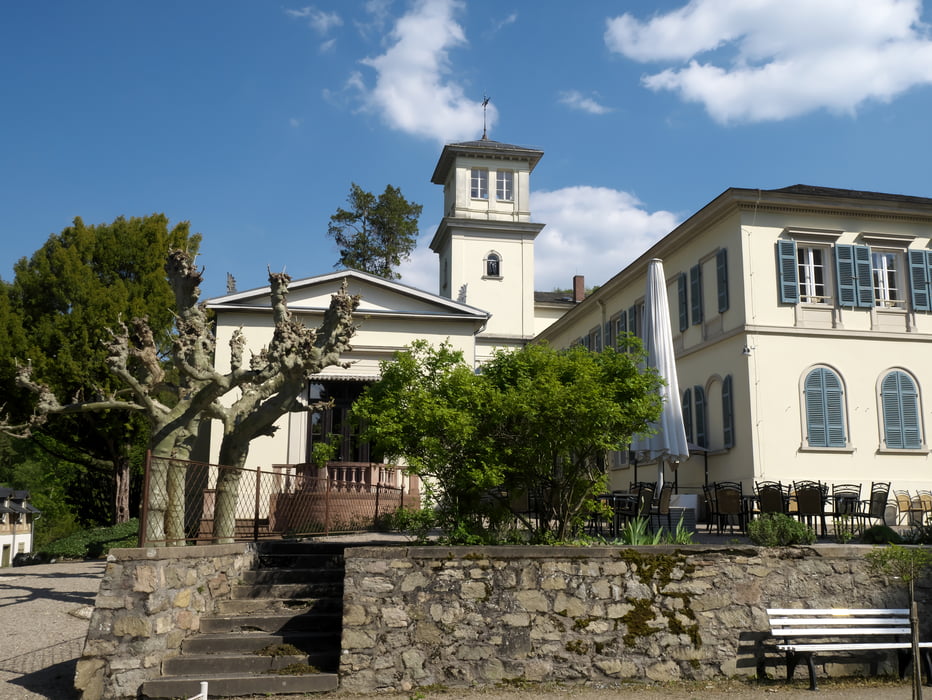
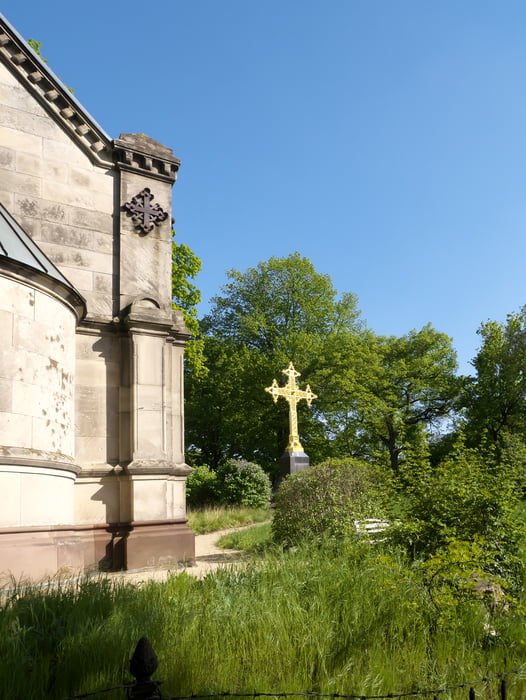
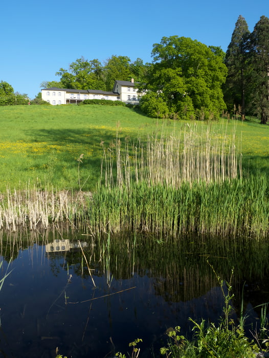
Von Seeheim,Waldstrasse, durch den oberen Schloßpark, hinunter zur Oberbeerbacher Straße, vorbei am Lufthansa Schulungzentrum zur Ruine Tannengerg, hinunter zum Stettbacher Tal, am Gasthaus Brandhof aufwärts zum Schloß Heiligenberg, vorbei an der Klosterruine und am Goldenen Kreuz, durch Jugenheim, am Berghang entlang zurück nach Seeheim, durch den Goldschmidt Park und durch den Westteil des Schloßparks Seeheim zum Ausgangspunkt.
Tour gallery
Tour map and elevation profile
Minimum height 141 m
Maximum height 324 m
More about the tour author

|
ColdMann |
Comments

Start in Seeheim am Ortsrand, Ende der Waldstraße
GPS tracks
Trackpoints-
GPX / Garmin Map Source (gpx) download
-
TCX / Garmin Training Center® (tcx) download
-
CRS / Garmin Training Center® (crs) download
-
Google Earth (kml) download
-
G7ToWin (g7t) download
-
TTQV (trk) download
-
Overlay (ovl) download
-
Fugawi (txt) download
-
Kompass (DAV) Track (tk) download
-
Track data sheet (pdf) download
-
Original file of the author (gpx) download
More about the tour author
|
|
ColdMann |
Add to my favorites
Remove from my favorites
Edit tags
Open track
My score
Rate