Login

Forgot your login?

Cookies have to be accepted!
Your browser's cookie functionality is disabled. Please enable this functionality.

Not a member yet?

Register now
Login

Available for registred users only

Log in to use this feature.

Forgot your login?

Cookies have to be accepted!
Your browser's cookie functionality is disabled. Please enable this functionality.

Not a member yet?

Register now
Filter
Categories
Advanced filters
  • Distance (km)
  • Height
Save filters Reset filter

TrackRank

QRCode

Technical data

Distance5,5 km Height29 m Way down989 m Duration00:00 h:m Date04.05.2022
Scores Author Landscape Fun factor Fitness Technique

Statistics

100 Views Scores 18 Downloads Average
Rate
  • Track data sheet
  • Directions
  • Downloads
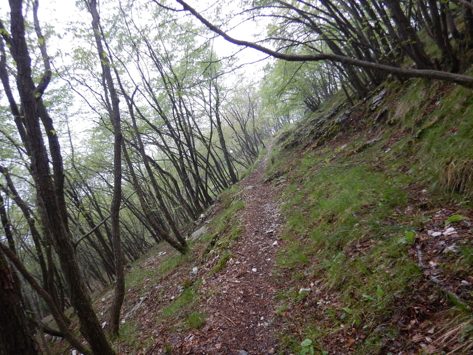
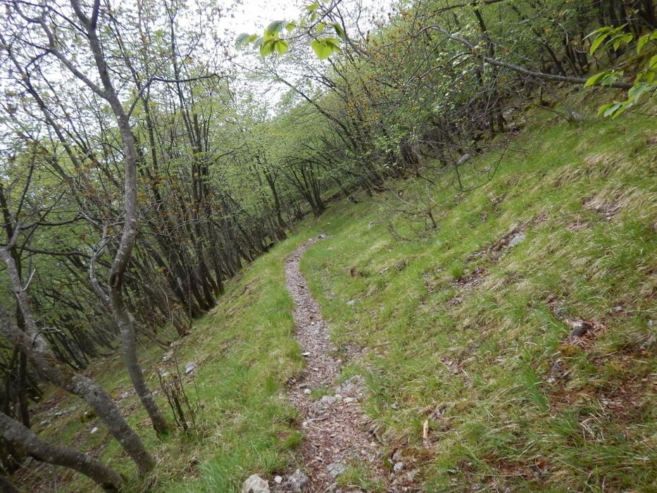
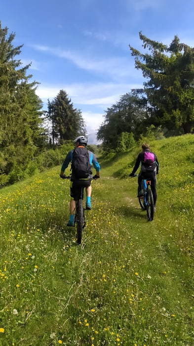
Sentiero impegnativo dedicato ad esperti e a chi ha già una buona esperienza su terreni sconnessi e impervi da percorrere con bici biammortizzate. La prima parte fino alla Malga Brione non presenta difficoltà particolari, da qui fino a valle il pendio diventa ripido con sassi, radici e fondo instabile.

Tour gallery

Tour map and elevation profile

  • Open Street Map
  • Google
Minimum height 114 m Maximum height 1088 m Detailed view

More about the tour author

Dolomeet
Member since 2018

Send private message

Comments

GPS tracks

Trackpoints
  • GPX / Garmin Map Source (gpx) download
  • TCX / Garmin Training Center® (tcx) download
  • CRS / Garmin Training Center® (crs) download
  • Google Earth (kml) download
  • G7ToWin (g7t) download
  • TTQV (trk) download
  • Overlay (ovl) download
  • Fugawi (txt) download
  • Kompass (DAV) Track (tk) download
  • Track data sheet (pdf) download
  • Original file of the author (gpx) download

More about the tour author

Dolomeet
Member since 2018

Send private message
Share track
Add to my favorites
Remove from my favorites
Edit tags
My score
Rate
Track: Trail Punta Veleno
Type: Mountain bike
Distance: 5,5 km
Evaluated on:
Duration:
Day(s)
Hour(s)
Minute(s)
Score: Landscape Fun factor Fitness Technique