


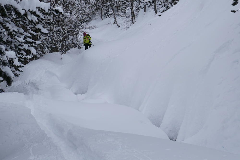
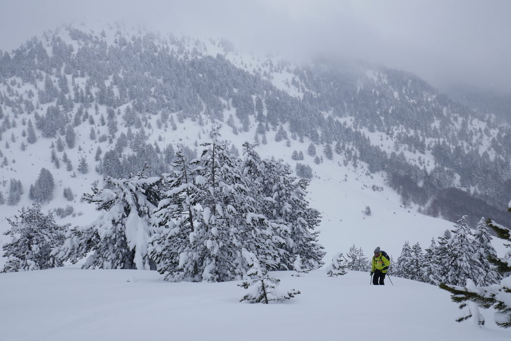
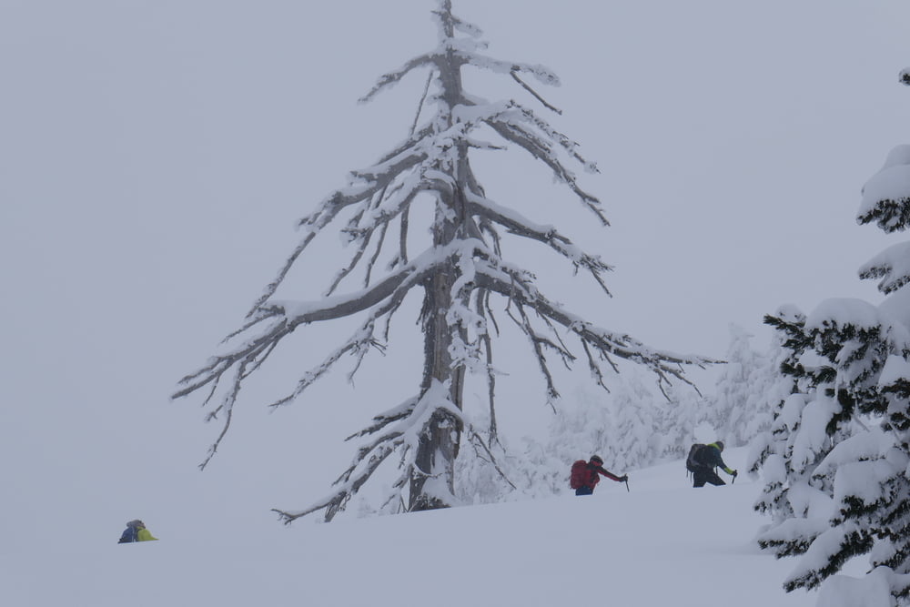
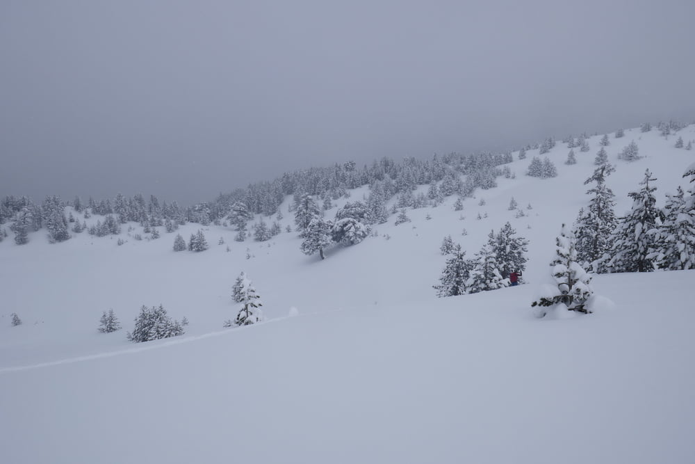
Lange flache Tour für unsichere Verhältnisse. Vom Parkplatz flach zu Steinbruch. Hierher je nach Schnee und Parkmöglichkeit auch von einer Kehre weiter unten möglich. Weiter flach durch Wald der Forststraße bis kurz vor den offenen Sattel folgen. Nun rechts den einfachsten aufstieg durch den lichten Wald bis zum Grat suchen. Über diesen bis zum Gipfel des Milia. Wegen Schlechtwetter drehten wirr kurz vor dem Gipfel um. Abfahrt direkt zurück zum Sattel und auf der gegenüberliegenden Seite landchaftlich schön ansteigen bis zum Tria Synora. Von dort direkte Abfahrt zur Forststraße, auf der man fast ohne anschieben wieder bis zum Auto gelangt.
Tour gallery
Tour map and elevation profile
Minimum height 1403 m
Maximum height 2122 m
More about the tour author

|
Gi |
Comments

Von Metsovo diee Straße nach Milia nehmen. Kurz vor Milia zweigt links eine Forststraße ab. Dort, oder eine Kehre weiter unten parken.
GPS tracks
Trackpoints-
GPX / Garmin Map Source (gpx) download
-
TCX / Garmin Training Center® (tcx) download
-
CRS / Garmin Training Center® (crs) download
-
Google Earth (kml) download
-
G7ToWin (g7t) download
-
TTQV (trk) download
-
Overlay (ovl) download
-
Fugawi (txt) download
-
Kompass (DAV) Track (tk) download
-
Track data sheet (pdf) download
-
Original file of the author (gpx) download
More about the tour author
|
|
Gi |
Add to my favorites
Remove from my favorites
Edit tags
Open track
My score
Rate