


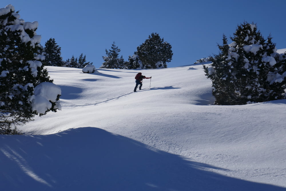
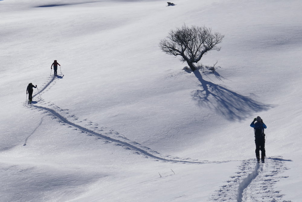
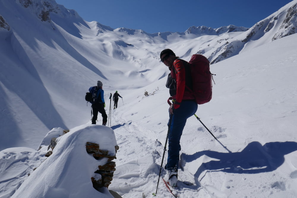
Von Antochori wie bei der Tour aauf den Kalogiros zuerst entlang der zugeschneiten Almstraße. Später kann man eine Kehreabkürzen und weiter an eienr Alm vorbei. Weiter im Talgrund oder (nicht so gut) an seiner rechten Flanke nach Süden. Hier bieten sich 3 Möglichkeiten: 1. Geradeaus im Talgrund weiter bis zur Scharte auf 2015m und dann über den Grat zum Gipfel (vermutlich der einfachste und sicherste Aufstieg) 2. Im Talgrund dem rechten Zweeig folgen bis zur Scharte, ähnlich unserer Abfahrtsspur. 3. Über die rechte Flanke in Stufen bis auf den Punkt 2154. Für uns endete die Tour hier wegen Schlechtwettereinbruch. Ansonsten leicht hinab bis in die Scharte, wo man mit 2. zusammentrifft. Den Lakmos Gipfel nun auf seiner NW-Seite entlang einer Forststraße queren und von SW auf den Gipfel.
Tour gallery
Tour map and elevation profile
Minimum height 1039 m
Maximum height 2180 m
More about the tour author

|
Gi |
Comments

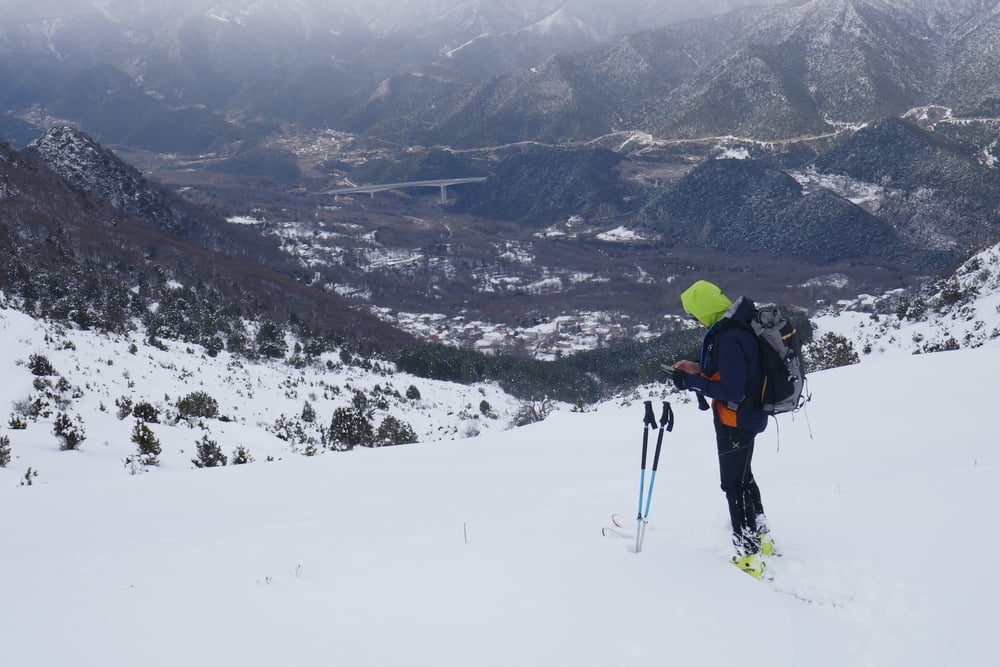
Von Metsovo wie beim Kalogiros nach Antochori zum Fußballplatz
GPS tracks
Trackpoints-
GPX / Garmin Map Source (gpx) download
-
TCX / Garmin Training Center® (tcx) download
-
CRS / Garmin Training Center® (crs) download
-
Google Earth (kml) download
-
G7ToWin (g7t) download
-
TTQV (trk) download
-
Overlay (ovl) download
-
Fugawi (txt) download
-
Kompass (DAV) Track (tk) download
-
Track data sheet (pdf) download
-
Original file of the author (gpx) download
More about the tour author
|
|
Gi |
Add to my favorites
Remove from my favorites
Edit tags
Open track
My score
Rate