


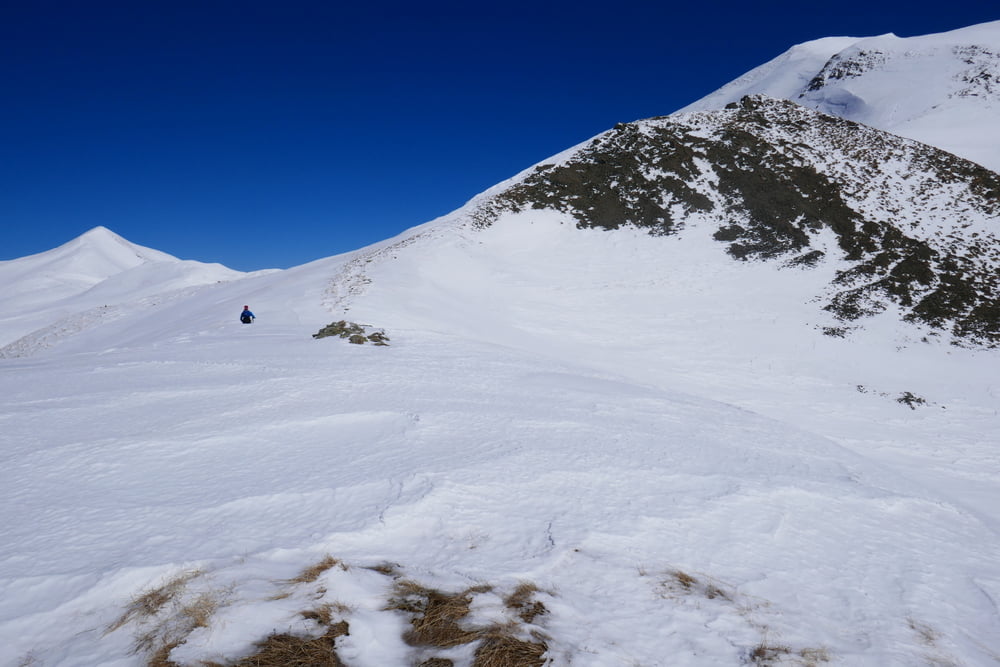
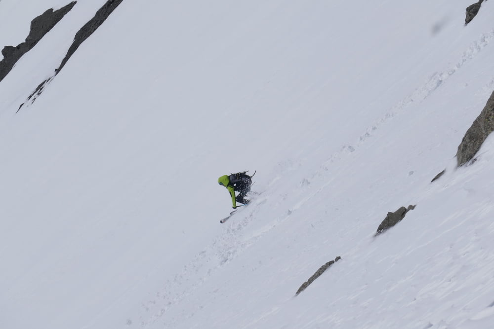
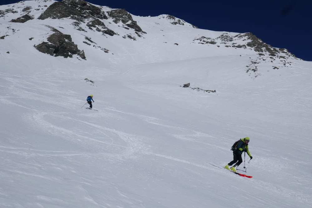
Vom Parkplatz auf Forststraße taleinwärts bis zu ihe Ende. Kleine Bach überqueren und dann leucht links haltend das große Talschlusskar hinauf. Man kann hier auch eine etwas direktere Linie als unserere Aufstiegroute verfolgen. Dann über den Gratrücken hinauf zum Gipfel des Grammos. Wenn die Verhältnisse es erlauben kann man über die bis zu 40° steile Südflanke direkt in den Talgrund abfahren. Zuetzt wieder auf der Forststraße hinaus zum Parkplatz.
Tour gallery
Tour map and elevation profile
Minimum height 1230 m
Maximum height 2550 m
More about the tour author

|
Gi |
Comments

Von Konitsa auf der Hauptstraße in Richtung Kosany. Links abbiegen nach Plikati, durchs Dorf fahren und kurz unterhalb des Hotels Agrioulouloud Grammos parken
GPS tracks
Trackpoints-
GPX / Garmin Map Source (gpx) download
-
TCX / Garmin Training Center® (tcx) download
-
CRS / Garmin Training Center® (crs) download
-
Google Earth (kml) download
-
G7ToWin (g7t) download
-
TTQV (trk) download
-
Overlay (ovl) download
-
Fugawi (txt) download
-
Kompass (DAV) Track (tk) download
-
Track data sheet (pdf) download
-
Original file of the author (gpx) download
More about the tour author
|
|
Gi |
Add to my favorites
Remove from my favorites
Edit tags
Open track
My score
Rate