


Von Gerresheim durch den Aaper Wald nach Ratingen
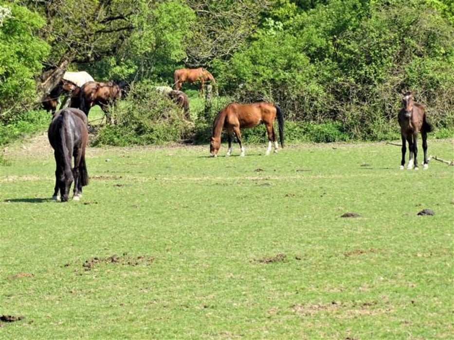
Wir wandern eine eindrucksvolle Route. Warum? Selten liegen gute Ausblicke ins weite Land, Verstädterung und Waldnatur so nah und attraktiv beisammen wie bei dieser Route am Westrand der Ausläufer des Bergischen Landes am Ostrand der Landeshauptstadt Düsseldorf. Schon wenige Minuten nach Beginn der Wanderung hat man eine fantastische Aussicht in die Landschaft zwischen Düsseldorf und Köln – auf eine aktuell nahe liegende Industriebrache, die City Düsseldorfs und den Landschaftshintergrund, der Ville und Eifel erahnen lässt.
Diese Wanderung und 19 weitere Routen finden sich in meinem Buch: Franz Josef E. Becker: Ausblicke und Einblicke. Wandern in Bergland und Rheinebene, Tredition, Hamburg 2022 (ab August)
Tour gallery


Tour map and elevation profile
Minimum height -70 m
Maximum height 116 m
More about the tour author

|
nc-drbefranetcologne |
Comments

Start: Gerresheim (S9, Düsseldorf, Hst. von S8, S28, S68 sowie der Stadtbahn U73 und der Busse 730, 736, 737, 781, M1
Ziel: Schwarzbachtal, Ratingen, Hst. von Bus 749
Wanderkarte: 4707 Mettmann - Wanderkarte mit Wanderwegen (geplottete Ausgabe) ProjektNord - Grundlage Amtliche topographische Karte 1:25.000
GPS tracks
Trackpoints-
GPX / Garmin Map Source (gpx) download
-
TCX / Garmin Training Center® (tcx) download
-
CRS / Garmin Training Center® (crs) download
-
Google Earth (kml) download
-
G7ToWin (g7t) download
-
TTQV (trk) download
-
Overlay (ovl) download
-
Fugawi (txt) download
-
Kompass (DAV) Track (tk) download
-
Track data sheet (pdf) download
-
Original file of the author (gpx) download
More about the tour author
|
|
nc-drbefranetcologne |
Add to my favorites
Remove from my favorites
Edit tags
Open track
My score
Rate